Length 33 km (20.5 mi) | Population Uninhabited | |
 | ||
Location | ||
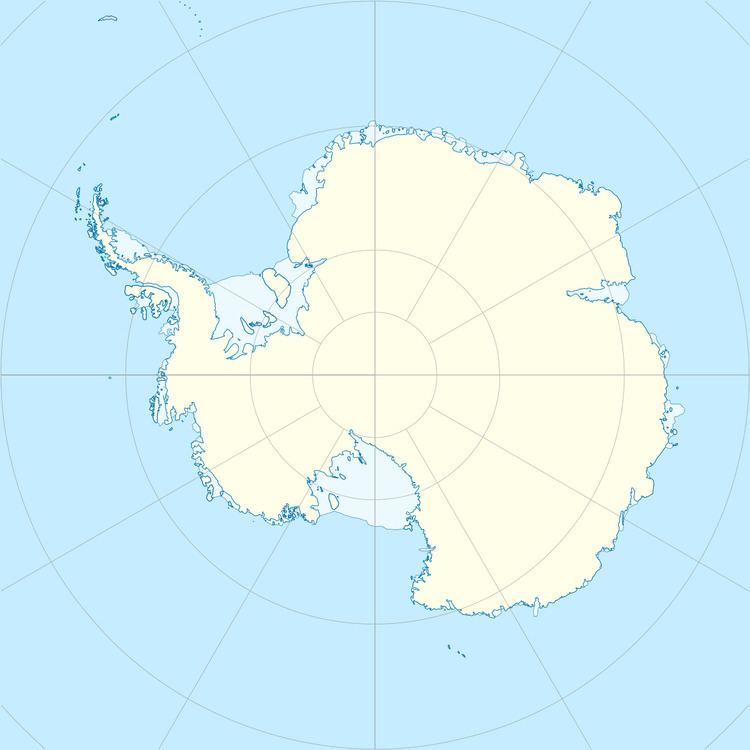
Dustin Island is an island about 33 kilometres (18 nmi) long, lying 28 kilometres (15 nmi) southeast of Cape Annawan, Thurston Island. The feature forms the SE limit of Seraph Bay.
Contents
Map of Dustin Island, Antarctica
Discovered by Rear Admiral Byrd and other members of the USAS in a flight from the Bear on February 27, 1940. Named by Byrd for Frederick G. Dustin, member of the Byrd AE, 1933–35, and mechanic with the USAS, 1939-41.
Maps
References
Dustin Island Wikipedia(Text) CC BY-SA
