
Area 195 km² | Time zone BST (UTC+6) | |
 | ||
Website Official Map of Durgapur | ||
Durgapur (Bengali: দূর্গাপুর) is an Upazila of Rajshahi District in the Division of Rajshahi, Bangladesh.
Contents
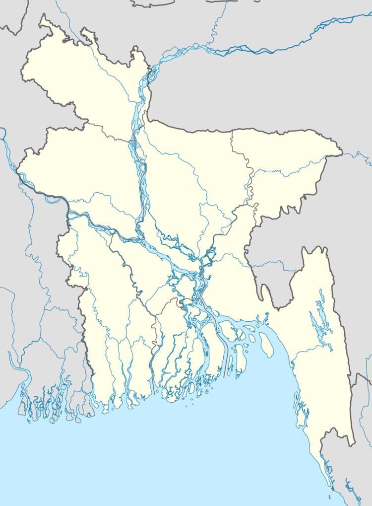
Map of Durgapur Upazila, Bangladesh
Geography
Durgapur is located at 24.4556°N 88.7667°E / 24.4556; 88.7667. It has 27,731 households and a total area of 195.03 km².
Demographics
According to the 1991 Bangladesh census, Durgapur's population was 137,640. Males constituted 50.81% of the population, females 49.19%. The population aged 18 and older was 71,446. Durgapur's average literacy rate was 20.2% (7+ years), compared to a national average of 32.54.
Administration
Durgapur has 7 Unions/Wards, 114 Mauzas/Mahallas, and 122 villages. Post Code- 6240.
References
Durgapur Upazila, Rajshahi Wikipedia(Text) CC BY-SA