
Area 293.4 km² | Time zone BST (UTC+6) | |
 | ||
Website Official Map of Durgapur | ||
Durgapur (Bengali: দূর্গাপুর) is an upazila of the Netrokona District in the Mymensingh Division of Bangladesh.
Contents
Geography
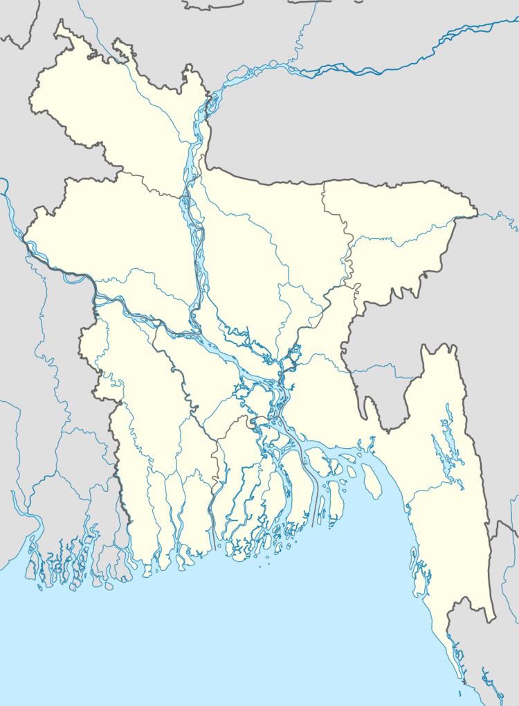
Durgapur is located at 25.1250°N 90.6875°E / 25.1250; 90.6875. It has 32245 households and a total land area of 293.42 km².
Demographics
At the 1991 Bangladesh census, Durgapur had a population of 169,135, of whom 83,795 were aged 18 or older. Males constituted 50.49% of the population, and females 49.51%. Durgapur had an average literacy rate of 23% (7+ years), compared to the national average of 32.4%.
Composition of Durgapur Thana
Total Households: 8,250
1. Banai; Total Village: 1; Total Household: 6; Language Practiced: Banai; Religion Practiced: Hinduism;
2. Bangali; Total Village: 48; Total Household: 4,778; Language Practiced: Bengali;
3. Buna / Buno; Total Village: 3; Total Household: 37; Language Practiced: Bengali; Religion Practiced: Hinduism; Buna / Buno in Other Districts: Dhaka, Gazipur, Mymensingh, Rajbari, Sherpur, Tangail, Bagerhat, Jessore, Jhenaidah, Khulna, Kushtia, Magura, Satkhira, Bogra, Dinajpur, Joypurhat, Naogaon, Natore, Nilphamari, Pabna, Rajshahi, Sirajganj, Maulvibazar;
4. Garo; Number of Villages they lived with bangali: 10; Total Household: 924; Language Practiced: Achik / Garo (98.08%), Deal (1.92%); Religion Practiced: Christianity (99.96%), Shangsharik (0.04%); Garo lived in Other Districts: Sherpur, Mymensingh, Banderban, Chittagong,
5. Hajong; Number of Villages they lived with bangali: 08; Total Household: 505; Language Practiced: Hajong; Religion Practiced: Hinduism; Hajong in Other Districts: Mymensingh, Sherpur, Sunamganj;
The city's area is 293.42 sq kimi It has 9 wards, and consists of 7 mahallas. It is an ancient town situated on the banks of the river somessori. This habitation known as a tourist area. There are civil and criminal court here from British rule regime. Durgapur Thana was formed in 1874 and converted into upozila was 1982.
Paurasabhah 1 (Durgapur Headquarters) Union 7 Maujah 134 Village 205 population Density 710 (per km2) literacy in rate Village in village 31.0% and in town 52.3% Population of the town 22661 and village 175665