
Country United States Incorporated 1917 Elevation 220 m Zip code 18641 Local time Wednesday 12:08 AM | Time zone Eastern (EST) (UTC-5) Area 3.9 km² Population 2,706 (2013) Area code 570 | |
 | ||
Weather 13°C, Wind S at 13 km/h, 87% Humidity | ||
Dupont is a borough in the Greater Pittston area of Luzerne County, Pennsylvania, United States, which neighbors the city of Wilkes-Barre. The population was 2,711 at the 2010 census.
Contents
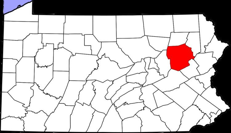
Map of Dupont, PA, USA
The borough was originally called "Smithville", after its first group of settlers. Its name was changed to Dupont after the company called Dupont Explosives was built. Dupont Explosives were used in many mines across northeastern Pennsylvania in the late 19th to 20th century. Dupont Explosives was closed after the advancement of technology in gathering coal.
Geography
Dupont is located at 41°19′18″N 75°44′47″W (41.321680, -75.746285).
According to the United States Census Bureau, the borough has a total area of 1.5 square miles (3.9 km2), all of it land. The borough is served by the Pittston Area School District.
Demographics
As of the census of 2000, there were 2,719 people, 1,228 households, and 789 families residing in the borough. The population density was 1,790.9 people per square mile (690.7/km2). There were 1,354 housing units at an average density of 891.8 per square mile (343.9/km2). The racial makeup of the borough was 99.23% White, 0.44% African American, 0.07% Asian, and 0.26% from two or more races. Hispanic or Latino of any race were 0.11% of the population.
There were 1,228 households, out of which 18.9% had children under the age of 18 living with them, 46.7% were married couples living together, 13.4% had a female householder with no husband present, and 35.7% were non-families. 32.6% of all households were made up of individuals, and 17.8% had someone living alone who was 65 years of age or older. The average household size was 2.21 and the average family size was 2.79.
In the borough the population was spread out, with 15.9% under the age of 18, 6.3% from 18 to 24, 26.9% from 25 to 44, 24.5% from 45 to 64, and 26.4% who were 65 years of age or older. The median age was 46 years. For every 100 females there were 88.8 males. For every 100 females age 18 and over, there were 84.3 males.
The median income for a household in the borough was $32,317, and the median income for a family was $39,250. Males had a median income of $28,431 versus $26,250 for females. The per capita income for the borough was $17,042. About 4.0% of families and 6.2% of the population were below the poverty line, including 10.3% of those under age 18 and 7.8% of those age 65 or over.
The current mayor is George Legezdh. Mayor Legezdh died several years ago, after leaving office. There are two churches located in the borough, Holy Mother of Sorrows Polish National Church and Sacred Heart of Jesus Church.
Dan Lello has been mayor of the Dupont borough since 2004.