
Country United States ZIP code 25511 Elevation 336 m Local time Tuesday 10:19 PM | Time zone Eastern (EST) (UTC-5) Area code(s) 304 Area 70 ha Population 1,105 (2000) | |
 | ||
Weather 12°C, Wind W at 19 km/h, 82% Humidity | ||
Dunlow is an unincorporated community in southern Wayne County, West Virginia, USA, on Twelvepole Creek. It was laid out as a railroad town along the Ohio Extension of the Norfolk and Western Railway in 1892. Dunlow was incorporated in 1892. However, the railroad up the West Fork of Twelvepole Creek through Dunlow was shut down in the early 1930s, and what is left of the town is currently unincorporated. At the 2000 census, Dunlow had a population of 1,105. In 2009, the population was listed as 961.
Contents
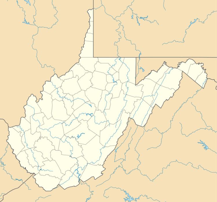
Map of Dunlow, WV 25511, USA
Dunlow is noted for its wildlife sightings. There have been several accounts of sightings of Black Panthers and other jungle animals in Dunlow. A circus train that derailed in the mid-1940s, from which several jungle creatures escaped and were never recovered, is rumored to be the source of these animals.
Cities and towns located near Dunlow
Climate
The climate in this area is characterized by hot, humid summers and generally mild to cool winters. According to the Köppen Climate Classification system, Dunlow has a humid subtropical climate, abbreviated "Cfa" on climate maps.