
Country United States ZIP code 25699 Local time Monday 3:57 PM | Time zone Eastern EST) (UTC-5) Area code(s) 304 Population 74 (2000) | |
 | ||
Weather 16°C, Wind SE at 16 km/h, 87% Humidity | ||
Wilsondale is an unincorporated community located in southern Wayne County, West Virginia, United States. Wilsondale has a post office with ZIP code 25699; as of the 2000 Census, the population of this ZIP Code Tabulation Area was 74. It is a part of the Huntington-Ashland, WV-KY-OH, Metropolitan Statistical Area (MSA). As of the 2000 census, the MSA had a population of 288,649.
Contents
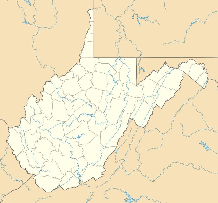
Map of Wilsondale, WV 25699, USA
Geography
Wilsondale is located at 37°57′13″N 82°19′40″W. Wilsondale is in the Eastern Time Zone (UTC -5 hours) and observes Daylight Saving Time.
Demographics
Wilsondale's ZCTA had a population of 74, with 41 males and 33 females, at the 2000 census. 98.6% of the population was white, while the remaining 1.4% was American Indian or Alaska Native. There were 32 households with an average household size of 2.64. The average house value was listed at $45,000, with an average household income of $21,375. The median age of the general population was 46.30 years, with the male median age at 41.80 and the female median age at 50.30.