
Length 45 km Bridges Dungeness River Bridge | Country United States of America | |
 | ||
Shorebirds at dungeness river wa
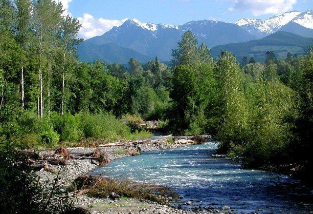
The Dungeness River is a 28-mile (45 km) long river located in the Olympic Peninsula in the U.S. state of Washington. It rises near Mount Constance in the Olympic Mountains within the Olympic National Park, flows through the Buckhorn Wilderness, passes by the town of Sequim, and empties into the Strait of Juan de Fuca at Dungeness Bay, behind the Dungeness Spit. One of its main tributaries is the Gray Wolf River.
Contents
- Shorebirds at dungeness river wa
- Map of Dungeness River Washington USA
- Sequim dungeness river nearly flooding
- References
Map of Dungeness River, Washington, USA
The river was named for Dungeness Spit. The name "Dungeness" refers to the Dungeness headland in England. It was given by George Vancouver in 1792, who wrote: The low sandy point of land, which from its great resemblance to Dungeness in the British Channel, I called New Dungeness.
Sequim dungeness river nearly flooding
References
Dungeness River Wikipedia(Text) CC BY-SA