
Country United States County Saint Louis ZIP codes 55804 Elevation 310 m Local time Tuesday 4:09 PM Area code 218 | Time zone Central (CST) (UTC-6) FIPS code 27-17018 Population 1,941 (2010) Zip code 55804 | |
 | ||
Weather 3°C, Wind W at 39 km/h, 49% Humidity Area 134.2 km² (120.4 km² Land / 13.99 km² Water) | ||
Duluth Township is a township in Saint Louis County, Minnesota, United States. The population was 1,941 at the 2010 census.
Contents
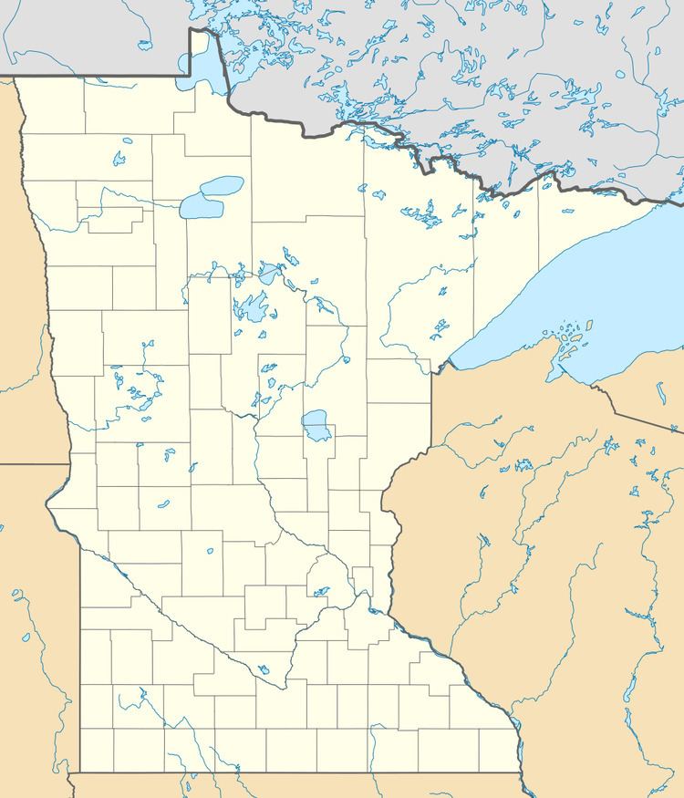
- Map of Duluth Township MN USA
- Geography
- Adjacent townships cities and communities
- Unincorporated communities
- Demographics
- References
Map of Duluth Township, MN, USA
The township is located on the North Shore of Lake Superior.
North Shore Scenic Drive (County Road 61), the Minnesota 61 Expressway (MN 61), and Homestead Road (County Road 42) are three of the main routes in the township.
McQuade Road runs north–south along Duluth Township's western boundary line with adjacent Lakewood and Normanna Townships.
The unincorporated communities of French River, Palmers, and Clover Valley are located within Duluth Township.
Geography
According to the United States Census Bureau, the township has a total area of 51.8 square miles (134 km2); 46.5 square miles (120 km2) is land and 5.4 square miles (14 km2), or 10.34%, is water.
The French River flows through the southwest corner of Duluth Township. The Little Knife River, the Knife River, and the Sucker River, also flow through the township. Creeks that flow through the township include Schmidt and Stanley.
Adjacent townships, cities, and communities
The following are adjacent to Duluth Township :
Unincorporated communities
Demographics
As of the census of 2000, there were 1,723 people, 669 households, and 479 families residing in the township. The population density was 37.1 people per square mile (14.3/km²). There were 714 housing units at an average density of 15.4/sq mi (5.9/km²). The racial makeup of the township was 98.26% White, 0.35% African American, 0.52% Native American, 0.12% from other races, and 0.75% from two or more races. Hispanic or Latino of any race were 0.46% of the population. 19.3% were of Norwegian, 14.6% German, 14.1% Swedish, 13.5% Finnish, 7.0% United States or American and 6.3% Irish ancestry according to Census 2000.
There were 669 households out of which 30.2% had children under the age of 18 living with them, 64.4% were married couples living together, 5.1% had a female householder with no husband present, and 28.4% were non-families. 23.8% of all households were made up of individuals and 6.1% had someone living alone who was 65 years of age or older. The average household size was 2.58 and the average family size was 3.09.
In the township the population was spread out with 26.2% under the age of 18, 6.4% from 18 to 24, 26.5% from 25 to 44, 29.9% from 45 to 64, and 10.9% who were 65 years of age or older. The median age was 41 years. For every 100 females there were 98.0 males. For every 100 females age 18 and over, there were 96.7 males.
The median income for a household in the township was $46,118, and the median income for a family was $57,292. Males had a median income of $42,381 versus $27,891 for females. The per capita income for the township was $23,116. About 1.7% of families and 4.1% of the population were below the poverty line, including 2.8% of those under age 18 and 4.5% of those age 65 or over.