
OS grid reference TQ31713 Dialling code 020 | Postcode district N15 | |
 | ||
Restaurants Autograf Restaurant, Huggamug Shisha, Panini 2 Go, Port Louis Bar, Curry Leaf Restaurant | ||
Duckett's Green is an area of north London, England in the United Kingdom and part of the London Borough of Haringey. It is an inner-suburban area located 5.8 miles (9.4 km) north of Charing Cross.
Contents
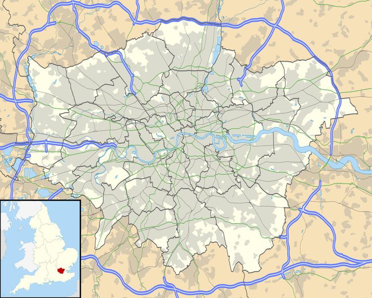
- Map of Ducketts Green London UK
- History
- Education
- Nearest places
- Nearest tube station
- Nearest railway stations
- Bus routes
- Links
- References
Map of Duckett's Green, London, UK
The area is mainly residential and borders Duckett's Common. Its area is roughly defined by West Green Road to the south-west, Belmont Road to the south-east, Ivatt Way and Langham Place to the north-east, Westbury Avenue to the north and Turnpike Lane Bus Station to the north-west.
History
The area takes its name from one of the manors of Tottenham, Dovecotes, or Duckett's. The manor house itself was situated further north in the centre of what is today Wood Green. Settlement is first recorded at Duckett's Green in 1293. With agriculture being the main activity in this small area, population remained sparse until the middle of the nineteenth century. By 1860 a few houses had been built along West Green Road just to the east of the junction with Green Lanes and stretching northward, facing Ducketts Common, as far as Ducketts farm-house, then called Dovecote House. Development had also begun along Milton Road.
Education
For further details of education in Duckett's Green, London see the London Borough of Haringey article.Nearest places
Nearest tube station
Nearest railway stations
Bus routes
Routes 41, 29 serve the area.