- right Dulhunty River Basin area 6,746 km² | - elevation 30 m (98 ft) - elevation 0 m (0 ft) Basin area 6,746 km² | |
 | ||
- location west of Bramwell Roadhouse Sources Richardson Range, Great Dividing Range | ||
The Ducie River is a river located on the Cape York Peninsula in Far North Queensland, Australia.
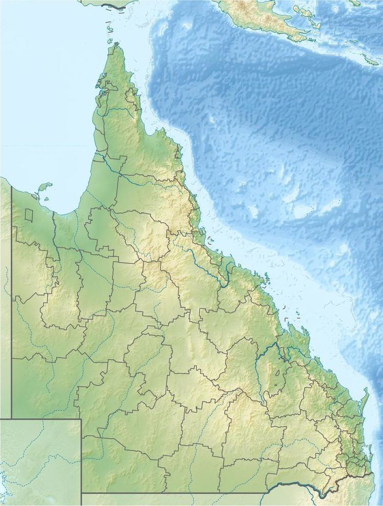
Map of Ducie River, Queensland, Australia
Formed by the confluence of the Palm Creek and South Palm Creek, the headwaters of the Ducie River drain the Richardson Range, part of the Great Dividing Range. The river flows generally west through stringybark woodlands, tropical savanna plains and wetlands, and enters the Gulf of Carpentaria on the western side of the Cape York Peninsula at Port Musgrave just north of Mapoon. The river descends 31 metres (102 ft) over its 69-kilometre (43 mi) course.
The catchment covers 6,746 square kilometres (2,605 sq mi) There are no major towns or water storage facilities in the watershed.
Much of the river is bordered by gallery rainforest. In its lower reaches it supports extensive tidal mangrove forest with stands of Nipa Palms.
The river was named in 1886 by Francis Lascelles Jardine, a pastoralist, reportedly after the Earl of Ducie, presumably a relative of the Jardine family.
