Country Canada Established 1961 Time zone EST (UTC-5) Population 635 (2011) Local time Tuesday 9:56 AM | Incorporated 1977 Postal Code P0S 1B0 Area code 705 | |
 | ||
Weather 8°C, Wind S at 31 km/h, 93% Humidity | ||
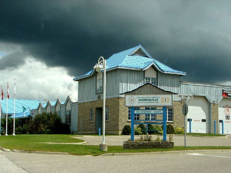
Dubreuilville is a township in the Canadian province of Ontario, located in the Algoma District. Established as a company town in 1961 by the Dubreuil Brothers lumber company, Dubreuilville was incorporated as a municipality in 1977.
Contents
Map of Dubreuilville, ON, Canada
The town is located along the Algoma Central Railway, on Highway 519, 32 kilometres (20 mi) east of Highway 17. The turnoff from Highway 17 is located 40 kilometres (25 mi) north from the town of Wawa and 45 kilometres (28 mi) south of the town of White River.
For the past two years, Dubreuilville has sponsored Canada's Strongest Man contest.
Demographics
Population trend:
Mother tongue:
References
Dubreuilville Wikipedia(Text) CC BY-SA
