Elevation 212 m Local time Tuesday 1:42 PM | Postal code 783 75 Area 15.21 km² | |
 | ||
Weather 7°C, Wind SW at 10 km/h, 69% Humidity | ||
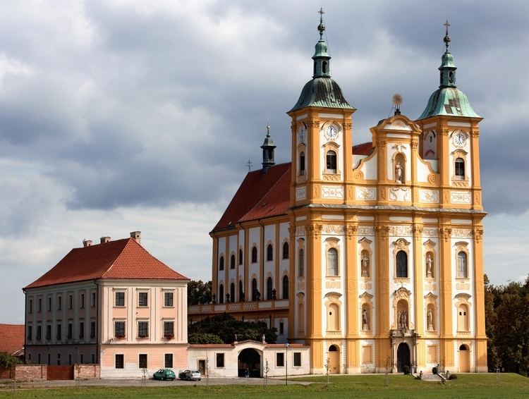
Dub nad Moravou is a market town (městys) in Olomouc District in the Olomouc Region of the Czech Republic.
Contents
Map of 783 75 Dub nad Moravou, Czechia
The town covers an area of 15.21 square kilometres (5.87 sq mi), and has a population of 1,575 (as at 3 July 2006).
Dub nad Moravou lies approximately 13 kilometres (8 mi) south of Olomouc and 217 km (135 mi) east of Prague.
Scouting
Dub nad Moravou has a strong Scouting association with the main leader in the village being Ester. Annually Czech Scouts and other Scouts from around the world including Canadian, Polish, German and American among others get together for an international development project to repair "Stara Voda" a church just outside Dub nad Moravou that was partially destroyed during WW2.
References
Dub nad Moravou Wikipedia(Text) CC BY-SA
