
Country Albania Time zone CET (UTC+1) Website Official Website | Vehicle registration AL Area code 884 | |
 | ||
Dropull festivali i polifonis minoritare vizion plus news lajme
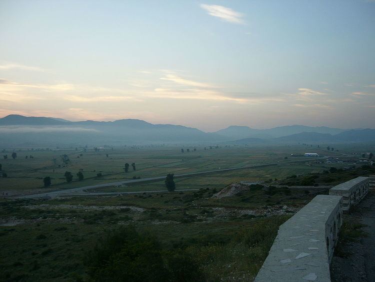
Dropull (Albanian: Dropulli; Greek: Δρόπολις, Dropolis) is a municipality and a predominantly Greek-inhabited region in Gjirokastër County, in southern Albania. The region stretches from south of the city of Gjirokastër to the Greek–Albanian border, along the Drinos river. The region's villages are part of the Greek "minority zone" recognized by the Albanian government, in which live majorities of ethnic Greeks.
Contents
- Dropull festivali i polifonis minoritare vizion plus news lajme
- Map of Dropull Albania
- Dropull rikthehen grabitjet news lajme vizion plus
- History
- Ecclesiastical history
- Titular see
- Villages
- Notable locals
- References
Map of Dropull, Albania
The municipality Dropull was created in 2015 by the merger of the former municipalities Dropull i Poshtëm, Dropull i Sipërm and Pogon. The seat of the municipality is the village Sofratikë. The total population is 3,503 (2011 census), in a total area of 448.25 km2.
Dropull rikthehen grabitjet news lajme vizion plus
History
During the Middle Helladic period (2100-1550 BC), a double tumulus was dug out in Vodhinë, with strong similarities to the grave circles at Mycenae, showing a common ancestral link with the Myceneans of southern Greece. In classical antiquity, the area was inhabited by the Greek tribe of the Chaonians.
From the Roman period there was a settlement named Hadrianopolis (in Epiro) in the region, one of several named after the great Roman emperor Hadrian. The settlement was built on a strategic spot in the valley of the river Drinos near the modern village of Sofratike, 11 kilometers south of Gjirokastër.
The foundations of Hadrianopolis were first discovered in 1984 when upper sections of the amphitheater were noticed by local farmers. Italian and Albanian archaeologists subsequently excavated much of the site, revealing a full amphitheater, Roman baths, and changing rooms. The site of the agora (forum) has been detected using ground radar, and excavation is expected in the period 2018 onwards. In the amphitheater, there are post holes for iron railings on first row seats. Also some "changing rooms" - originally for actors - were converted to holding pens for wild animals. This was a site where Romans fed enemies of the state to wild animals.
During the 6th century the Byzantine emperor Justinian I, as part of his fortification plans against barbarian invasions, moved the settlement 4 kilometers southeast in the modern village of Peshkëpi, in order to gain a more secure position. The city is also referred in Byzantine sources as Ioustinianoupolis, after him. Today, ruins of the fortifications are still visible, as are the aqueduct and a medieval Orthodox Christian church.
During the 11th century the city was named Dryinoupolis, a name possibly deriving from its former name or from the nearby river. It was also, from the 5th century, the see of a bishopric (initially part of the Diocese of Nicopolis, Naupactus and then Ioannina).
Ecclesiastical history
Circa 400 a Catholic bishopric was established as Diocese of Hadrianopolis in Epiro, a suffragan of the Metropolitan Archdicoese of Nicopolis, capital of the Late Roman province of Epirus Vetus. It was suppressed by the Pope circa 1000, but later got an Orthodox successor.
The bishopric of Dryinoupolis included the region of modern southwest Albania and from the 16th century its center was Gjirokastër. At the end of the 19th century, many inhabitants migrated to the United States.
Titular see
The Catholic diocese was nominally restored in 1933 as Latin Titular bishopric of Hadrianopolis in Epiro (Latin; adjective Hadrianopolitan(us) in Epiro) / Adrianopoli di Epiro (Curiate Italian).
It is vacant since decades, had had only the following incumbent, of the fitting Episcopal (lowest) rank :
Villages
Some of the villages of the region are: