
Population 217 (2011 census) Postal code 4424 | Postcode(s) 4424 State electorate(s) Warrego Local time Tuesday 11:50 AM | |
 | ||
Location 358 km (222 mi) NW of Brisbane231 km (144 mi) NW of Toowoomba148 km (92 mi) NW of Dalby120 km (75 mi) E of Roma20 km (12 mi) W of Miles Weather 32°C, Wind S at 8 km/h, 32% Humidity | ||
Drillham is a town in the Darling Downs region of Queensland, Australia. The town is on the Warrego Highway and in the Western Downs Region local government area, 358 kilometres (222 mi) north west of the state capital, Brisbane. At the 2011 census, Drillham and the surrounding area had a population of 217.
Map of Drillham QLD 4424, Australia
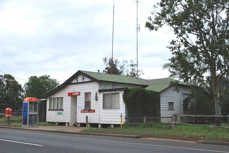
The town was established in 1878 to service the railway and was home to a camp for workers building the bridge over nearby Drillham Creek. Drillham Post Office opened by June 1910 (a receiving office had been open from 1895). The town and the creek were originally known as 'Delerium' due to the typhoid fever that struck this camp. Today, Drillham is a centre for the production of livestock and grains.
References
Drillham, Queensland Wikipedia(Text) CC BY-SA