
Population 862 (2011) Civil parish Draycott in the Clay Dialling code 01283 | OS grid reference SK15551 Sovereign state United Kingdom UK parliament constituency Burton | |
 | ||
Draycott in the Clay is a village and civil parish within the English county of Staffordshire.
Contents
Map of Draycott in the Clay, Ashbourne, UK
Location
The village is located between Uttoxeter, which is 7.6 miles (12.2 km) to the west, and Burton Upon Trent which is 7.5 miles (12.1 km) to the east. The nearest railway station is at Uttoxeter. The village is dominated by the A515 which runs through the village. to the south of the village is The National Forest and to the north is a traction engine park.
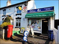
Village Facilities
The village has two churches, a village shop/Post Office, two public houses, one school and a play area.
The local Village website is at http://web.archive.org/web/20110208031144/http://draycottintheclay.com/
References
Draycott in the Clay Wikipedia(Text) CC BY-SA