
Country United States FIPS code 51-23392 Elevation 107 m Local time Monday 2:51 PM | Time zone Eastern (EST) (UTC-5) GNIS feature ID 2584837 Area 10.03 km² Population 11,921 (2010) | |
 | ||
Weather 12°C, Wind S at 11 km/h, 34% Humidity | ||
Dranesville is a census-designated place (CDP) in Fairfax County, Virginia, United States. Dranesville is located on the Leesburg Pike (State Route 7) at its intersection with Georgetown Pike (State Route 193). The U.S. Census Bureau defines Dranesville as a census-designated place (CDP) with a population of 11,921 as of 2010.
Contents
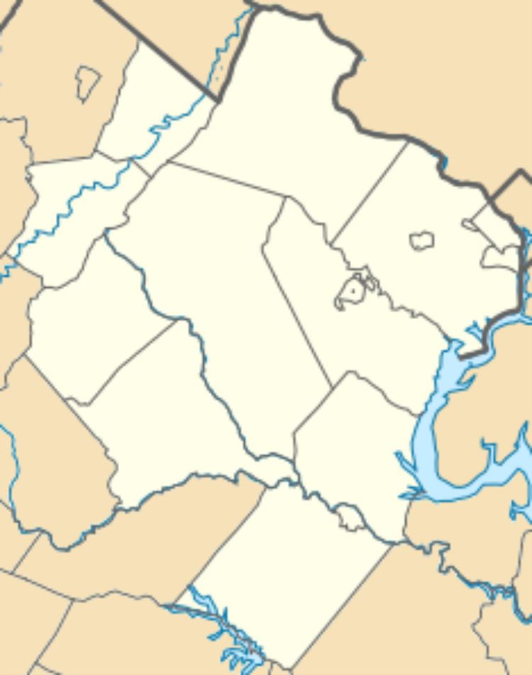
Map of Dranesville, Reston, VA 20170, USA
The town is named for Washington Drane, a settler who moved there from the District of Columbia in 1810 and began the operation of Drane's Tavern. The Dranesville Tavern is listed on the National Register of Historic Places.
Geography
The CDP is located in northern Fairfax County and is bounded by Route 7 to the northeast, the Loudoun County line to the northwest, the town of Herndon to the southwest, and Reston to the southeast. The original settlement of Dranesville, at the intersection of Routes 7 and 193, is at the northeast corner of the CDP. Washington, D.C. is 23 miles (37 km) to the southeast down Route 7 and I-66, and Leesburg is 13 miles (21 km) to the northwest on Route 7. Washington Dulles International Airport is 9 miles (14 km) to the southwest.
According to the U.S. Census Bureau, the Dranesville CDP has a total area of 3.87 square miles (10.03 km2), of which 3.84 square miles (9.95 km2) is land and 0.03 square miles (0.08 km2), or 0.77%, is water.