
Elevation 339 m Local time Monday 7:33 PM | Postal code 783 43 Area 13.66 km² | |
 | ||
Weather 3°C, Wind S at 10 km/h, 90% Humidity Points of interest Terezské údolí, Tvrz Černá věž, Barokní sýpka v Ludéřově, Zahradní železnice | ||
Drahanovice
Drahanovice is a village and municipality (obec) in Olomouc District in the Olomouc Region of the Czech Republic.
Contents
- Drahanovice
- Map of 783 44 Drahanovice Czechia
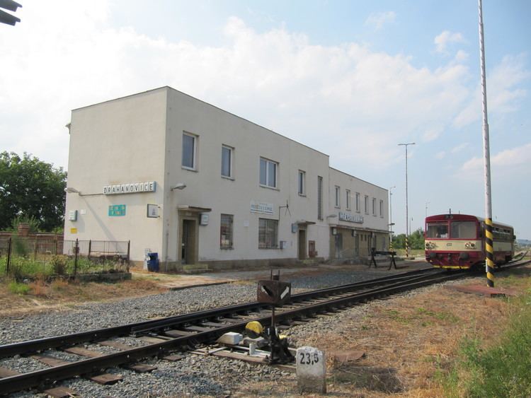
- Samovratn v hybky ve stanici drahanovice odjezd mj regionova 814 247 248
- References
Map of 783 44 Drahanovice, Czechia
The municipality covers an area of 13.66 square kilometres (5.27 sq mi), and has a population of 1,712 (as at 2 October 2006).
Drahanovice lies approximately 13 kilometres (8 mi) west of Olomouc and 199 km (124 mi) east of Prague.
Samovratn v hybky ve stanici drahanovice odjezd mj regionova 814 247 248
References
Drahanovice Wikipedia(Text) CC BY-SA