
- elevation 237 m (778 ft) - location Atlantic Ocean Urban area 200 ha | - elevation 996 m (3,268 ft) - location Ribeira das Doze Area 10.37 km² | |
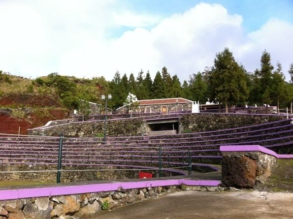 | ||
Doze Ribeiras is a civil parish in the municipality of Angra do Heroísmo on the island of Terceira in Portuguese archipelago of the Azores. The population in 2011 was 513, in an area of 10.41 km².
Contents
Map of Doze Ribeiras, Portugal
Architecture
The traditional architecture of Doze Ribeiras resembles much of the rural homes of the western Terceira region, generally constructed around a single floor, many white-washed homes, bordered by multi-coloured trim at the corners, doors and windows.
References
Doze Ribeiras Wikipedia(Text) CC BY-SA