
Country United States Time zone EST (UTC-5) Area code(s) 912 Elevation 77 m Local time Friday 7:09 PM | County Coffee ZIP codes 31533-31535 FIPS code 13-23872 Population 11,872 (2013) | |
 | ||
Weather 21°C, Wind NW at 10 km/h, 50% Humidity University South Georgia State College | ||
Holiday inn express hotel douglas douglas georgia
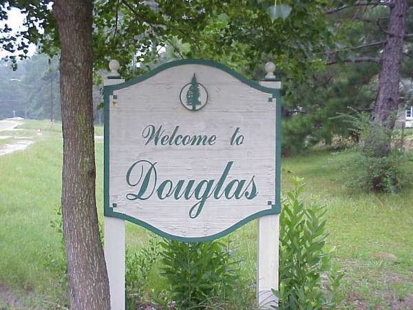
Douglas is a city in Coffee County, Georgia, United States. As of the 2010 census, the city had a population of 11,589. Douglas is the county seat of Coffee County and the core city of the Douglas, Georgia Micropolitan Statistical Area, which had a population of 50,731 as of the 2010 census.
Contents
- Holiday inn express hotel douglas douglas georgia
- Map of Douglas GA USA
- History
- Geography
- Demographics
- Douglas Micropolitan Statistical Area
- Highways
- Airport
- Utilities
- Major employers
- References
Map of Douglas, GA, USA
History
Douglas was founded in 1855 as the seat of the newly formed Coffee County. It was named for Senator Stephen A. Douglas from Illinois, a renowned stump speaker who was the challenger to Abraham Lincoln in the presidential election of 1860.
Douglas was chartered as a town in 1895 and as a city in 1897. In 1895, the railroad came to Douglas and the community began to boom. In 1909, the Georgia and Florida Railway located its offices in Douglas.
The Eleventh District Agricultural & Mechanical School was established in Douglas in 1906. In 1927, South Georgia College was founded as Georgia's first state-supported junior college.
During the 1920s and 1930s, Douglas was one of the major tobacco markets in the state. Much of this history is depicted in the Heritage Station Museum, located in the former Georgia and Florida Railway train station on Ward Street in downtown Douglas.
Douglas has two areas listed on the National Register of Historic Places: the downtown and Gaskin Avenue historic districts. They were added to the list in 1989.
Geography
Douglas is located near the center of Coffee County at 31°30′27″N 82°51′3″W (31.507413, -82.850799). It is 59 miles (95 km) driving distance northeast of Valdosta, Georgia, 115 miles (185 km) driving distance northwest of Jacksonville, Florida, and 201 miles (323 km) driving distance southeast of Atlanta.
According to the United States Census Bureau, Douglas has a total area of 14.0 square miles (36.2 km2), of which 13.4 square miles (34.7 km2) is land and 0.58 square miles (1.5 km2), or 4.08%, is water. Major water bodies include Twenty Mile Creek, the Seventeen Mile River (a tributary of the Satilla River), and Hilliard's Pond, which was once the ski show park "Holiday Beach".
Demographics
As of the census of 2000, there were 10,639 people, 3,977 households, and 2,656 families residing in the city. The population density was 825.7 people per square mile (318.9/km²). There were 4,692 housing units at an average density of 364.2 per square mile (140.7/km²). The racial makeup of the city was 48.41% White, 45.33% African American, 0.27% Native American, 1.09% Asian, 0.05% Pacific Islander, 3.80% from other races, and 1.05% from two or more races. Hispanic or Latino of any race were 6.92% of the population.
There were 3,977 households out of which 32.5% had children under the age of 18 living with them, 41.3% were married couples living together, 21.3% had a female householder with no husband present, and 33.2% were non-families. 28.3% of all households were made up of individuals and 12.8% had someone living alone who was 65 years of age or older. The average household size was 2.57 and the average family size was 3.14.
In the city, the population was spread out with 27.8% under the age of 18, 11.6% from 18 to 24, 26.3% from 25 to 44, 19.8% from 45 to 64, and 14.5% who were 65 years of age or older. The median age was 33 years. For every 100 females there were 83.9 males. For every 100 females age 18 and over, there were 77.0 males.
The median income for a household in the city was $27,946, and the median income for a family was $36,349. Males had a median income of $26,551 versus $20,145 for females. The per capita income for the city was $15,652. About 17.9% of families and 24.4% of the population were below the poverty line, including 31.2% of those under age 18 and 22.0% of those age 65 or over.
Douglas Micropolitan Statistical Area
Douglas is the principal city of the Douglas Micropolitan Statistical Area, a micropolitan area that covers Atkinson and Coffee counties and had a combined population of 50,731 at the 2010 census.