
Country Nepal Time zone NPT (UTC+5:45) Area 2,025 km² | Main language(s) Doteli Zone Seti Zone | |
 | ||
Region Far-Western Development Region, Nepal | ||
Doti District (Nepali: डोटी जिल्ला Listen ), is one of the 75 districts of Nepal, This district, with Silgadhi as its headquarters, covers an area of 2,025 square kilometres (782 sq mi) with a population of 207,066 in 2001 and increasing marginally to 211,746 in 2011.
Contents
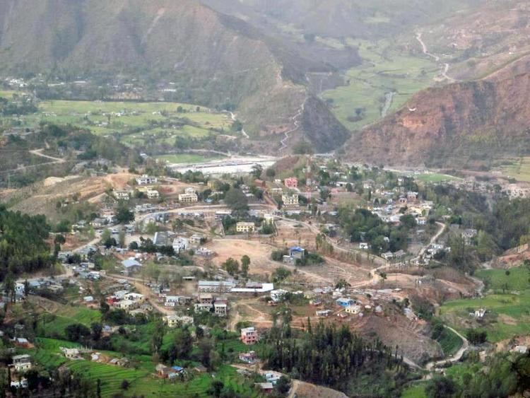
- Map of Doti Nepal
- History
- Raikas of Doti and their lineage
- Conflict with Gorkha Kingdom
- Dotyali language
- References
Map of Doti, Nepal
History
Doti was a medieval kingdom of Nepal. It was founded by Niranjan Malla Dev, the last son of the Katyuri dynasty and younger brother of Abhay Pal of Askot. Previously, the area between Ramganga in the west and the Karnali River in the east was under the control of the Raikas (rulers of the Doti kingdom, alternately Kumaun or Rainka Maharaj).
Ancient Doti covered Uttarakhand, a state in modern-day india, Nepal's neighboring country, which Kingdom of Nepal lost during Partition of Nepal in 1814 and part of far western Nepal. It was formed after the Katyuri Kingdom's disintegration during the 13th century. Doti was one of eight different princely states formed after the disintegration, and all claim Katyuri heritage. The seven other known states are:
The Katyuri Kingdom's dissolution is attributed to the invasion of Khas Kings Ashoka Challa and Krachalla, from the Karnali zone (Dullu) in 1191 and 1223 respectively. Later, the whole land between Ramganga in the west (Uttarakhand) and the Karnali in the east (which divides the far western region from other parts of Nepal), came under the Raikas' rule — after the establishment of the Katyuri's dynastic Raikas Doti. Brahma Dev Mandi at Kanchanpur; a district within Mahakali, was established by Katyuri King Brahma Dev.
Raikas of Doti and their lineage
Historical evidence of the following raikas has been discovered:
Conflict with Gorkha Kingdom
The historic place of war between the Doti Kingdom and Gorkha kingdom during the period of reunification of Nepal in 1790, is Nari-Dang which lies on the bank of the Seti River and Dumrakot was the base of the Doti Kingdom during the fighting against the Gorkhalis.
Doti was captured by Gorkha forces, and the Gorkha rulers went on to destroy several historical sites in Doti — attempting to cover its legendary bravery and tenacity. The Dotyali people were also subject to ethnic prejudice, and were frequently excluded from government jobs and offices of state. Somehow in 1950, a few Dotyalis established their identities as national heroes based solely on their courage, daring, and contribution to their country. Noted among them are Martyr Dashrath Chand Ministry of Home Affairs, Martyr Bhim Dutta Pant Ministry of Home Affairs, and K.I. Singh, a revolutionary leader who later became prime minister.
Dotyali language.
Dotiyali is the local language spoken in the Doti region; the far western region of Nepal, which is similar to the Kumauni language, a language spoken by people of Kumaon, a state in modern-day india, Nepal's neighboring country, which Kingdom of Nepal lost during Partition of Nepal in 1814. According to Rahul Sankrityayan, Dotiyali is the dialect of the Kumauni language which was brought to Doti by a section of the Katyuri dynasty of Kumaun which had ruled over Doti until 1790. The Doti kingdom was formed after the Katyuri kingdom had broken up into eight different princely states of different sections of the Katyuris. However, in Nepal it is considered as a Nepali dialect; though Local intellectuals and people of Doti, those who are speaking Dotiyali language that they are increasingly demanding their language to be recognized as one of the national language of Nepal.