
- elevation 130 m (427 ft) Basin area 30,641 km² | Length 596 km Discharge 500 m³/s | |
 | ||
- average 500 m/s (17,657 cu ft/s) | ||
Fishing for mahseer in ramganga river above corbett park
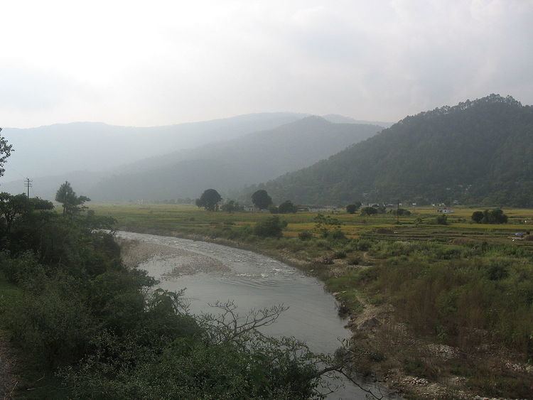
Ramganga river at marchula
Ramganga West
Ramganga West River originates from Doodhatoli ranges in the district of Pauri Garhwal, Uttarakhand state of India. The Ramganga River flows to south west from Kumaun Himalaya. It is a tributary of the river Ganges, originates from the high altitude zone of 800m-900m. Ramganga flows by the Corbett National Park near Ramnagar of Nainital district from where it descends upon the plains. Moradabad, Bareilly, Badaun, Shahjahanpur and hardoi cities of Uttar Pradesh is situated on its banks. The Ramganga Dam crosses the river at Kalagarh for irrigation and hydroelectric generation. An annual festival of Ganga Dassahra is organised on its banks annually during the months of September and October at Chaubari village near Bareilly. It has a drainage basin of 30,641 km2. (11,831 sq.mi). Ramganga goes through various places. It consolidates many places into one. The main location that it goes through are Taal, Chaukhutia, Bhagoti, Masi, Bhikyasen etc., these places come under Kumaun region.
Contents
- Fishing for mahseer in ramganga river above corbett park
- Ramganga river at marchula
- Ramganga West
- Ramganga East
- References
Length:1931km
Ramganga East
Another Ramganga called Ramganga East originates from the Namik Glacier in Pithoragarh district of Uttarakhand and flows towards South-East. The river is fed by numerous small and big rivers and finally joins river Sarju at Rameshwar near Ghat of Pithoragarh. The Sarju in turn confluences with the Kali (Sharda).