
Area 1,111 km² | Local time Friday 12:24 PM | |
 | ||
Weather 29°C, Wind NE at 8 km/h, 55% Humidity | ||
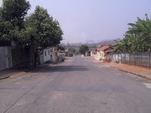
Dores do indai vista de um drone
Dores do Indaiá is a Brazilian municipality located in the center of the state of Minas Gerais. Its population as of 2007 was 13,996 people living in a total area of 1,110 km². The city belongs to the meso-region of Central Mineira and to the micro-region of Bom Despacho. It became a municipality in 1880.
Contents
- Dores do indai vista de um drone
- Map of Dores do IndaiC3A1 State of Minas Gerais Brazil
- Dores do indai jovem de 20 anos morre em acidente
- Location
- Economic activities
- Health and education
- References
Map of Dores do Indai%C3%A1, State of Minas Gerais, Brazil
Dores do indai jovem de 20 anos morre em acidente
Location
The city center of Dores do Indaiá is located at an elevation of 723 meters just off state highway MG-176, 8 km south of its junction with federal highway BR-262. Neighboring municipalities are: Quartel Geral (N), Martinho Campos (E), Bom Despacho (SE), Luz (S), Estrela do Indaiá and Serra da Saudade (W).
Distances
Economic activities
Services and agriculture are the most important economic activities. In 2005 there were 91 small transformation industries employing 362 workers and 401 retail units employing 831 workers. The GDP in 2005 was approximately R$89 million, with 54 million reais from services, 9 million reais from industry, and 19 million reais from agriculture. There were 577 rural producers on 98,000 hectares of land. 169 farms had tractors (2006). Approximately 1,200 persons were occupied in agriculture. The main crops are rice, sugarcane, manioc, beans and corn. There were 66,000 head of cattle, of which 10,000 were milk cows (2006).
There were 6 banks: Banco do Brasil - Caixa Econômica Federal - Banco Itaú - Bradesco - Credindaiá - Coopcredi (2007). In the vehicle fleet there were 2,290 automobiles, 180 trucks, 352 pickup trucks, 18 buses, and 556 motorcycles (2007).
Health and education
In the health sector there were 4 public health clinics and 1 hospital (A Santa Casa de Misericórdia Dr. Zacarias) with 42 beds. (2005). There are 4 private doctors. Patients with more serious health conditions are transported to Divinópolis or Belo Horizonte. Educational needs of 3,200 students were met by 7 primary schools, 2 middle schools, and 6 pre-primary schools.
In 2000 the per capita monthly income of R$239.00 was below the national average of R$297.00. Poços de Caldas had the highest per capita monthly income in 2000 with R$435.00. The lowest was Setubinha with R$73.00.
The highest ranking municipality in Minas Gerais in 2000 was Poços de Caldas with 0.841, while the lowest was Setubinha with 0.568. Nationally the highest was São Caetano do Sul in São Paulo with 0.919, while the lowest was Setubinha. In more recent statistics (considering 5,507 municipalities) Manari in the state of Pernambuco has the lowest rating in the country—0,467—putting it in last place.