
- left Jigadee Creek - location Dora Creek | - right Stockton Creek - elevation 40 m (131 ft) - elevation 0 m (0 ft) | |
 | ||
Dora River is a watercourse that is located in the Upper Central Coast/Lower Hunter regions of New South Wales, Australia.
Contents
Map of Dora Creek NSW 2264, Australia
Course and features
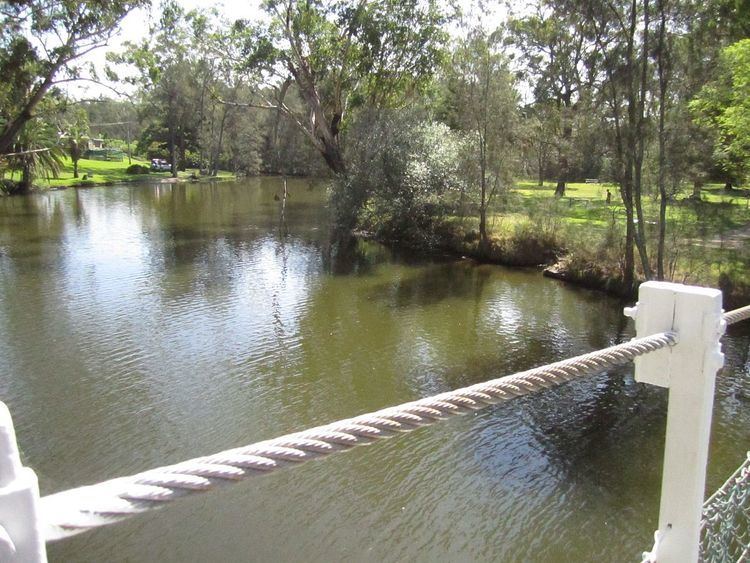
Dora Creek River rises below Watagan Mountains west of Martinsville, and flows generally southeast by south, joined by two minor tributaries, before reaching its river mouth within Lake Macquarie, near the town of Dora Creek. The river descends 40 metres (130 ft) over its 35 kilometres (22 mi) course.
The merged flows of Dora Creek together with Lake Macquarie reaches the Tasman Sea of the South Pacific Ocean at Swansea.
The F3 Freeway crosses the creek, west of Morisset.
References
Dora Creek Wikipedia(Text) CC BY-SA