
Population (2008) 223 Local time Thursday 9:33 PM | Canton Jarnages Area 24.59 km² | |
 | ||
Intercommunality Carrefour des Quatre Provinces Weather 9°C, Wind W at 3 km/h, 81% Humidity | ||
Domeyrot is a commune in the Creuse department in the Nouvelle-Aquitaine region in central France.
Contents
Map of 23140 Domeyrot, France
Geography
A farming area comprising the village and several hamlets, situated some 12 miles (19 km) northeast of Guéret at the junction of the D40, D13 and the D66 roads. The small river Verraux, a tributary of the Petite Creuse, forms the commune’s southern and western boundaries.
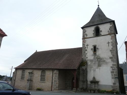
Sights
References
Domeyrot Wikipedia(Text) CC BY-SA