
Summit depth 13 m (43 ft) Last eruption December 1720 | ||
 | ||
Similar Dollabarat, Água de Pau Massif, Capelinhos, Serra de Santa Bárbara, Cabeço Gordo | ||
Dom João de Castro Bank (Portuguese: Banco de D. João de Castro) is a large submarine volcano located in the central north Atlantic Ocean, between the islands of São Miguel and Terceira in the archipelago of the Azores.
Contents
History
The first historical reference correlated with the perilous submarine volcanoes between São Miguel and Terceira occurred from the sinking of two ships of the French corsair Henry Tourin, in the spring of 1718.
The last major eruption associated with this region occurred on 31 December 1720. Beginning as a submarine eruption, it eventually built to a Surtseyan eruption that resulted in the formation of a circular island 1.5 kilometres (0.93 mi) long, 250 m (800 ft) altitude island.
Designated the Ilha Nova, it remained above sea-level for only two years, reaching a height of 180 metres (590 ft) and diameter of 900 metres (3,000 ft). Marine erosion and ocean swells reduced and degraded the cone's size considerably, so that by 21 July 1722 the Conselho da Marinha Português was advised that island had disappeared. (Oliveira, 1943).
After two centuries of disputed references to the existence of the island, on 28 July 1941 the hydrographic ship NH D. João de Castro identified its position and cataloged the morphology of the bank. In keeping with nautical tradition at its discovery, the bank inherited its name.
The most recent seismic events from the region occurred from 4 June 2012, when incrementally increasing tremors affected the region. A maximum seismic event was recorded from the islands of São Miguel and Terceira, equivalent to levels III/IV on the Mercalli Scale.
Geography
It remains a seismically active zone, lying midway between the islands of São Miguel and Terceira, rising to within 13 m (43 ft) of the sea surface. The volcano has a large fumarole field, its top approximately 1,600 metres (5,200 ft) in total.
Two parasitic craters, both about 90 by 45 metres (295 ft × 148 ft) wide, are located on the northwest flank. The younger crater displays a floor consisting of a chilled lava lake with polygonal surface fractures, while the older, less distinct crater is obscured by tephra deposits.
Biome
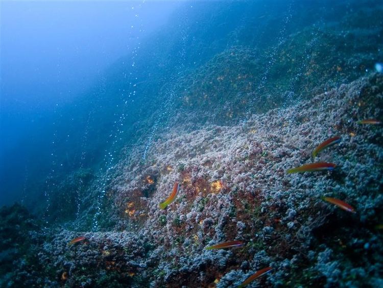
D. João de Castro is an important fishing ground for both demersal fish, such as the black seabream (Spondyliosoma cantharus) and blackbelly rosefish, (Helicolenus dactylopterus), as well as pelagic tuna species (Thunnus and others).
On 27 July 1996, in a scientific expedition organized by the Clube Naval de Ponta Delgada, marine biology investigatores from the University of the Azores completed a study to identify species localized within the bank.