
Postal code 739 53 Area 3.7 km² Population 322 (2011) | First mentioned 1305 Elevation 335 m Local time Thursday 6:45 PM | |
 | ||
Website www.stonavka.cz/dolni_tosanovice/ Weather 4°C, Wind S at 10 km/h, 88% Humidity | ||
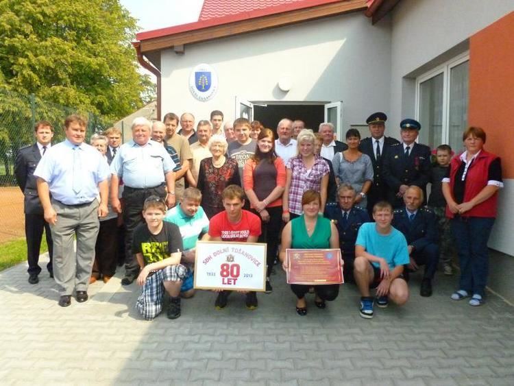
Sdh horn doln to anovice
Dolní Tošanovice (Polish: Toszonowice Dolne, German: Nieder Toschonowitz) is a village in Frýdek-Místek District, Moravian-Silesian Region, Czech Republic. It has a population of 309 (2006). It lies in the historical region of Cieszyn Silesia.
Contents
- Sdh horn doln to anovice
- Map of 739 53 DolnC3AD ToC5A1anovice Czechia
- Sdh metylovice doln to anovice mu i na ostravici 2016
- Etymology
- History
- References
Map of 739 53 Doln%C3%AD To%C5%A1anovice, Czechia
Sdh metylovice doln to anovice mu i na ostravici 2016
Etymology
The name is patronymic in origin derived from personal name Tosz-. It was variably subscribed in the historical documents: Tessinowitz (1305), Thusnowitz (?, 1316), z Tossinowicz (1445), z Tossonowicz (1447), von Toschonowitz (1523), z Tossynowicz (1536, 1627), z Tossonowicz (1693), na Tossenowiczych (1703), Toschonowice (1724). In the 18th century the distinction between two villages developed. In 1736 both were mentioned as Nieder Toschonowitz (literally Lower; Dolní in Czech, Dolne in Polish, Nieder in German) and Ober Toschonowitz (literally Upper, Horní in Czech, Górne in Polish, Ober in German).
History
The village of Tošanovice was first mentioned in a Latin document of Diocese of Wrocław called Liber fundationis episcopatus Vratislaviensis from around 1305 as item in Tessinowitz. It meant that the village was in the process of location (the size of land to a pay a tithe from was not yet precised). The creation of the village was a part of a larger settlement campaign taking place in the late 13th century on the territory of what will be later known as Upper Silesia.
Politically the village belonged initially to the Duchy of Teschen, formed in 1290 in the process of feudal fragmentation of Poland and was ruled by a local branch of Piast dynasty. In 1327 the duchy became a fee of the Kingdom of Bohemia, which after 1526 became part of the Habsburg Monarchy.
After Revolutions of 1848 in the Austrian Empire a modern municipal division was introduced in the re-established Austrian Silesia. The village as a municipality was subscribed to the political and legal district of Cieszyn. According to the censuses conducted in 1880, 1890, 1900 and 1910 the population of the municipality dropped from 856 in 1880 to 794 in 1910 with a majority being native Czech-speakers (83.6% in 1880, later between 62.4% and 63.9%) accompanied by a Polish-speaking minority (13.9% in 1880, later between 34.6% and 37.4%) and German-speaking (at most 21 or 2.5% in 1880). In terms of religion in 1910 the majority were Roman Catholics (76.1%), followed by Protestants (23.9%).
After World War I, fall of Austria-Hungary, Polish–Czechoslovak War and the division of Cieszyn Silesia in 1920, it became a part of Czechoslovakia. Following the Munich Agreement, in October 1938 together with the Zaolzie region it was annexed by Poland, administratively adjoined to Cieszyn County of Silesian Voivodeship. It was then annexed by Nazi Germany at the beginning of World War II. After the war it was restored to Czechoslovakia.