
District Šumperk Elevation 320 m Local time Thursday 6:44 PM | Postal code 788 20 Area 8.51 km² Population 1,295 (2006) | |
 | ||
Weather 5°C, Wind NE at 8 km/h, 86% Humidity | ||
Karneval doln stud nky 2017
Dolní Studénky (German: Schönbrunn) (historic name: Studenka) is a village and municipality (obec) in Šumperk District in the Olomouc Region of the Czech Republic.
Contents
- Karneval doln stud nky 2017
- Map of 788 20 DolnC3AD StudC3A9nky Czechia
- Doln stud nky 9 sokolsk zahradn posezen
- References
Map of 788 20 Doln%C3%AD Stud%C3%A9nky, Czechia
The municipality covers an area of 8.51 square kilometres (3.29 sq mi), and has a population of 1,295 (as at 28 August 2006).
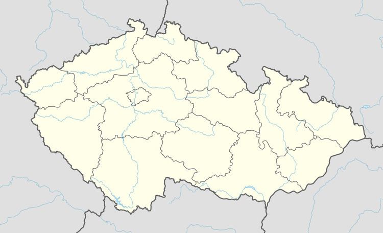
Dolní Studénky lies approximately 4 kilometres (2 mi) south of Šumperk, 43 km (27 mi) north-west of Olomouc, and 184 km (114 mi) east of Prague. Village council also administers the settlement of Králec and former farm complex and settlement of Třemešek.
Doln stud nky 9 sokolsk zahradn posezen
References
Dolní Studénky Wikipedia(Text) CC BY-SA