
Easiest route Hike / scramble | Elevation 965 m | |
 | ||
Location | ||
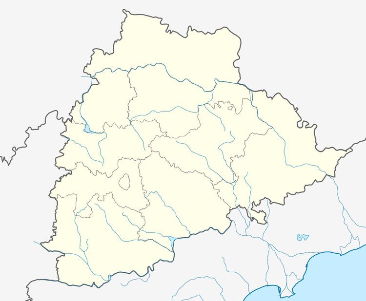
Doli Gutta is a mountain peak in the northern part of the Deccan Plateau. It is located at the border of recently created Jayashankar district in Telangana and Bijapur district in Chhattisgarh, India.
Highest point in Telangana
At 965 m Doli Gutta is possibly the highest mountain peak in the state of Telangana since the Chintoor and Vararamachandrapuram mandals of erstwhile Khammam district — where Pedda Konda rose to a height of 1360 m— were transferred to Andhra Pradesh. Although naturally part of Telangana, on 11 July 2014, the Lok Sabha approved a bill transferring seven mandals of Khammam district (Kukunoor, Velairpadu, Bhurgampadu, Chintoor, Kunavaram, Vararamachandrapuram and Bhadrachalam) back to Andhra Pradesh, in order to facilitate the Polavaram Irrigation project.