
Elevation 1,080 m | Local time Thursday 5:19 PM | |
 | ||
Weather 28°C, Wind SE at 11 km/h, 48% Humidity | ||
Agwata dokolo uganda clinic 2016
Dokolo is a town in the Northern Region of Uganda. It is the main municipal, administrative, and commercial centre of Dokolo District.
Contents
- Agwata dokolo uganda clinic 2016
- Map of Dokolo Uganda
- Location
- Population
- Points of interest
- Notable people
- References
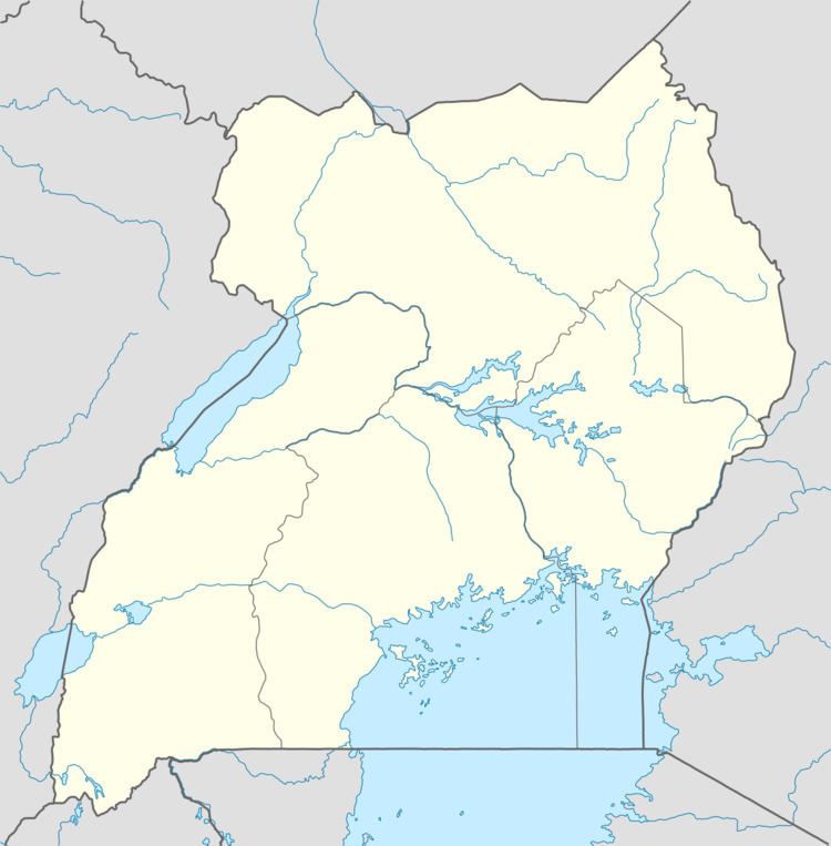
Map of Dokolo, Uganda
Location
Dokolo is located approximately 58 kilometres (36 mi), by road, southeast of Lira, the largest city in the sub-region. This is approximately 236 kilometres (147 mi), by road, northeast of Kampala, the capital of Uganda and the largest city in the country. Dokolo lies on the main highway, A-104, between Lira and Soroti. The coordinates of the town are 1°55'07.0"N, 33°10'12.0"E (Latitude:1.9186; Longitude:33.1700).
Population
In 2002, the national population census estimated the town's population at 13,200. In 2010, the Uganda Bureau of Statistics (UBOS) estimated the population at 17,500. In 2011, UBOS estimated the mid-year population at 18,100. In 2014, the national population census put the population at 19,810
Points of interest
The following additional points of interest lie within the town limits or close to the edges of town: