
Location Macedonia Max. width 7.1 km (4.4 mi) Max. depth 10 m (33 ft) Surface elevation 148 m Width 7.1 km | Max. length 8.9 km (5.5 mi) Surface area 43.1 km (16.6 sq mi) Area 43.1 km² Length 8.9 km | |
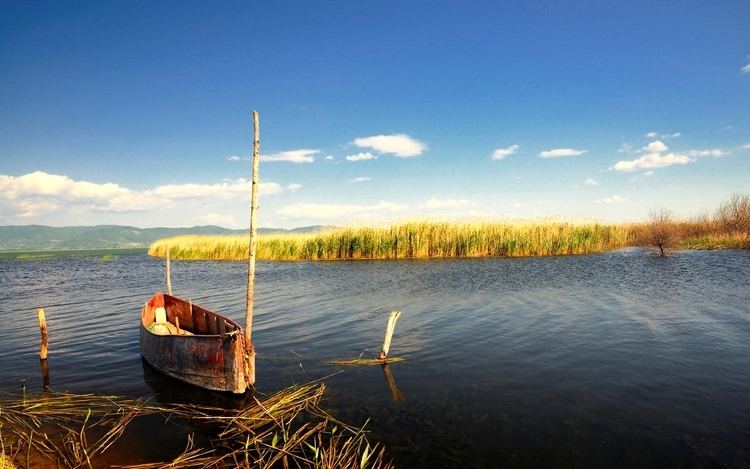 | ||
Doiran Lake (Macedonian: Доjранско Езеро, Dojransko Ezero; Greek: Λίμνη Δοϊράνη, Límni Doïráni), also known as Dojran Lake is a lake with an area of 43.1 km2 (16.6 sq mi) shared between the Republic of Macedonia (27.3 km2, 10.5 sq mi) and Greece (15.8 km2, 6.1 sq mi).
Contents
Map of Dojran Lake
To the west is the city of Nov Dojran (Нов Дојран), to the east the village of Mouries, to the north the mountain Belasica/Beles and to the south the Greek town of Doirani. The lake has a rounded shape, a maximum depth of 10 m (33 ft) and a north-to-south length of 8.9 km (5.5 mi) and is 7.1 km (4.4 mi) at its widest, making it the third largest lake partially in the Republic of Macedonia after Lake Ohrid and Lake Prespa.
The lake was on the southern line of the Macedonian front during World War I, and its southern shore became the site of the various battles between allied troops and Bulgarian troops in 1916, 1917 and 1918. A monument to one of the battles and two cemeteries for Greek and British troops stand on a hill a few hundred metres south of the lake.
EcologyEdit
Due to the overuse of the lake's water for agricultural purposes in recent years, Doiran's water nearly drained out, but the disaster was avoided after the countries took measures to replenish and sustain the lake's water levels. Frequent and heavy rainfalls, in last years, also helped restoring the lake's water levels.