
Governing body สำนักอุทยานแห่งชาติ Phone +66 81 960 2456 | Area 1,170 km² Established 1990 | |
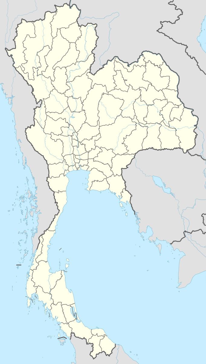 | ||
Location Chiang Rai, Lampang and Phayao Provinces Address Mae Yen, Phan District, Chiang Rai 57280, Thailand Similar Doi Luang National Park, Khun Chae National Park, น้ำตกปูแกง, อุทยานแ | ||
Doi Luang National Park (Thai: อุทยานแห่งชาติดอยหลวง) is one of the biggest national parks in Northern Thailand.
Contents
It covers the Mae Suai, Phan and Wiang Pa Pao districts of Chiang Rai Province, Wang Nuea and Ngao of Lampang Province as well as Mae Chai and Mueang Phayao of Phayao Province.
Description
Doi Luang National Park is located in the northwesternmost mountain chains of the Phi Pan Nam Range and was established in 1990 by combining the area of four existing parks.
1,426 m high Doi Luang, a mountain located towards the northern end of the park in Mae Chai District, should not be confused with Doi Luang, with an altitude of 1,694 m the highest mountain of the Phi Pan Nam Range, that is located about 30 km further south in the same mountain chain. The sources of the Wang and the Lao River are in this mountainous area. The park also has rugged rock formations and scenic waterfalls such as Namtok Pu Kaeng, Namtok Cham Pa Thong and Namtok Wang Kaew.
Flora and fauna
Trees in the protected area include Mesua ferrea, Hopea odorata, Toona ciliata, Lagerstroemia tomentosa and Irvingia malayana.
Animals in the park area include the Asian black bear, sun bear, muntjac, the Indochinese leopard, bamboo rat, tree shrews; among the birds the blue-winged siva and the red-billed blue magpie deserve mention.