
Trail difficulty Moderate Hazards Unleashed dogs Province New Brunswick | Season Year-round Length 57,750 m | |
 | ||
Location Albert County, New Brunswick Use Hiking, Snowshoeing, Cross country skiing Similar Riverfront Trail - Greater M, Champlain Place, Gunningsville Bridge, Irishtown Nature Park - Ne, Mapleton Park - New Brunswick | ||
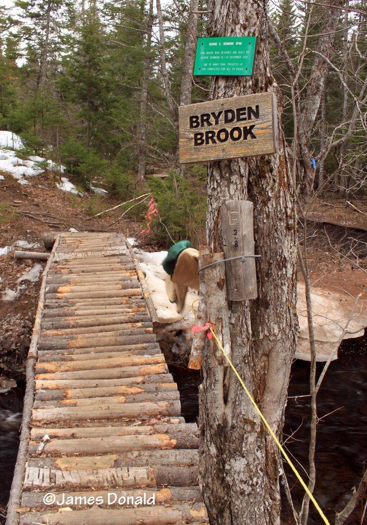
The Dobson Trail is a 57.75 km hiking trail that runs from Riverview, New Brunswick to Fundy National Park. The trail is named for Dr. Art Dobson, who started the initiative to build the trail in 1959. The trail is the longest volunteer-maintained trail in Eastern Canada.
Contents
Map of Dobson Trail, Elgin, NB E4Z 1N1, Canada
History
Dr. Art Dobson began scouting the trail in 1959, following the standards set out in a publication from the Appalachian Trail conference. Over a decade Scout troops from Hillsborough, Riverview, Moncton and Alma blazed the trail under Dobson's direction. The trail was originally referred to as "The Fundy Trail," after Fundy National Park, where the trail led. In the 1960s, the Province of New Brunswick established roadways known as the Fundy trails and Fundy National Park. In 1975 the name was changed to the Dobson Trail to avoid confusion with these other trails. The trail connects to the 33-kilometre Fundy Trail at Fundy National Park, which in turn connects to the Fundy Footpath.