
Elevation 335 m (1,099 ft) Local time Thursday 8:55 AM | Area 5.577 km² | |
 | ||
Weather 3°C, Wind SE at 3 km/h, 93% Humidity | ||
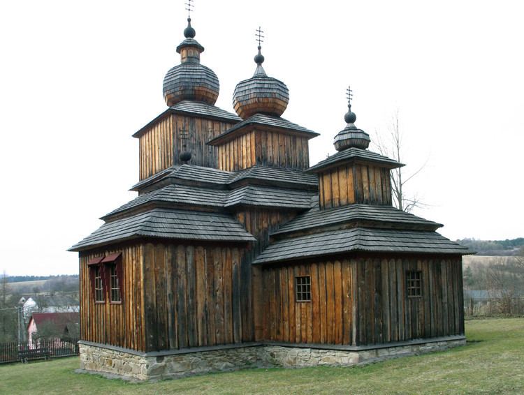
Dobroslava (Rusyn: Доброслава, Hungarian: Dobroszló) is a village and municipality in Svidník District in the Prešov Region of north-eastern Slovakia.
Contents
Map of 090 01 Dobroslava, Slovakia
History
In historical records the village was first mentioned in 1600. The village is inhabited by predominately Rusyns.
Geography
The municipality lies at an altitude of 335 metres and covers an area of 5.577 km². It has a population of about 139 people.
References
Dobroslava Wikipedia(Text) CC BY-SA