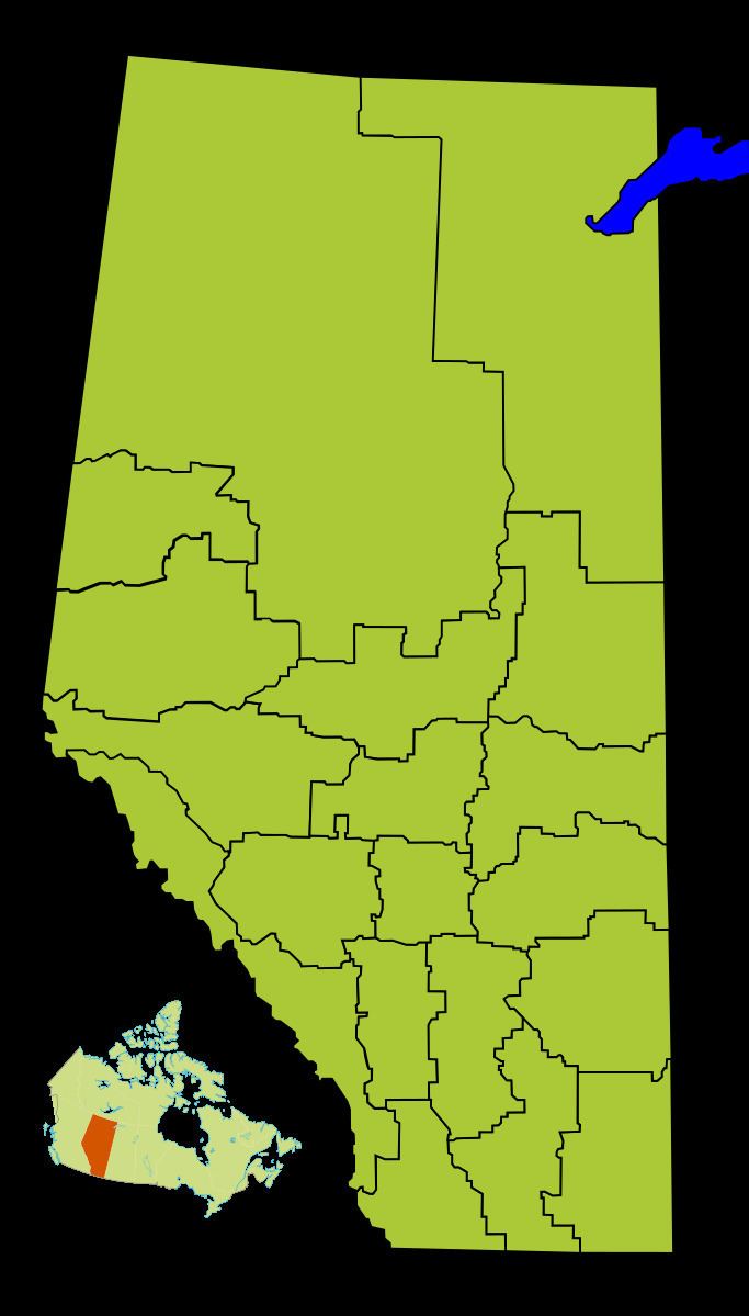
Population 78,694 (2011) | Area 20,526 km² | |
 | ||
Points of interest Medalta in the Historic Clay Distr, Esplanade Arts & Heritage, Casino By Vanshaw, Police Point Park, World's Tallest Tepee Clubs and Teams Medicine Hat Tigers, Medicine Hat Cubs, Medicine Hat Mavericks | ||
Division No. 1 is a census division in Alberta, Canada. It is located in the southeast corner of southern Alberta and surrounds the City of Medicine Hat.
Contents
Map of Division No. 1, AB, Canada
Census subdivisions
The following census subdivisions (municipalities or municipal equivalents) are located within Alberta's Division No. 1.
Demographics
In the 2011 Census, Division No. 1 had a population of 78,694 living in 31,724 of its 34,458 total dwellings, a 5.6% change from its 2006 population of 74,550. With a land area of 20,526 km2 (7,925 sq mi), it had a population density of 3.8 people per square kilometre in 2011.
In 2006, Division No. 1 had a population of 74,550 living in 31,315 dwellings, a 10.6% increase from 2001. The census division has a land area of 20,526.14 km2 (7,925.19 sq mi) and a population density of 3.6 inhabitants per square kilometre.
