
Elevation 1,601 ft (487 m) Local time Wednesday 8:52 AM Number of airports 1 | Commune Dirkou Time zone WAT (UTC+1) Population 14,998 (2011) | |
 | ||
Weather 22°C, Wind NE at 19 km/h, 20% Humidity | ||
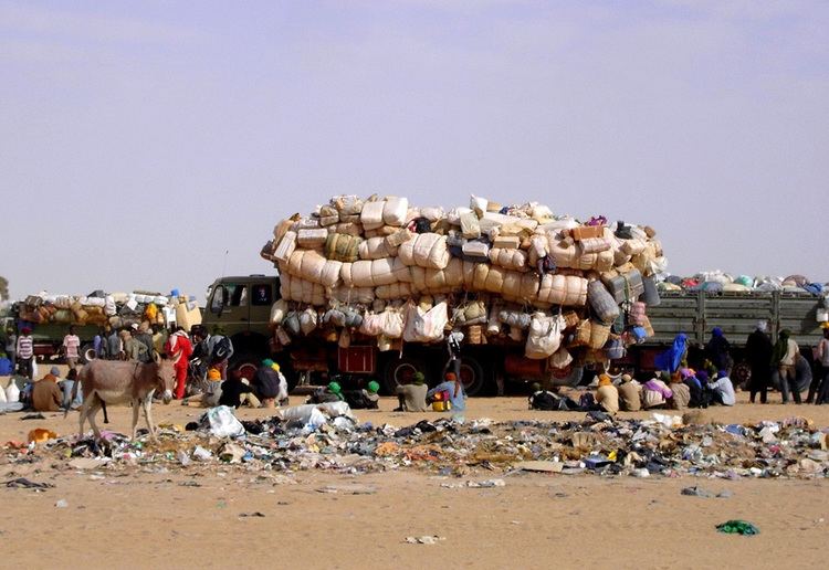
Dirkou is a town in the Bilma Department, Agadez Region of north-eastern Niger. It lies in the northern Kaouar escarpment, a north-south line of cliffs which form an isolated oasis in the Sahara desert. As of 2011, the commune had a total population of 14,998 people.
Contents
Map of Dirkou, Republic of Niger
The town is just south of Séguédine, and around 90 km north of Departmental capital Bilma. While isolated in modern Niger, it once lay on the important central soudan route of the Trans-Saharan trade which linked coastal Libya and the Fezzan to the Kanem-Bornu Empire near Lake Chad. Its population is made up primarily of traditionally sedentary Kanuri people, as well as semi-nomadic Tuareg and Tubu people.
Transport
The town is served by Dirkou Airport.
References
Dirkou Wikipedia(Text) CC BY-SA