
Capital Dioïla Area 12,794 km² | Time zone GMT (UTC+0) Local time Wednesday 3:13 AM | |
 | ||
Weather 27°C, Wind NE at 11 km/h, 11% Humidity | ||
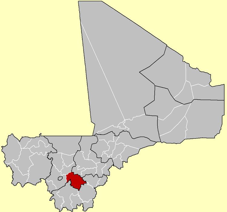
Dioïla Cercle is an administrative subdivision of the Koulikoro Region of Mali. Its seat is the town of Dioïla. It lies at the southeast corner of the region, and prior to 1977, it was combined with what is now Kati Cercle and the District of Bamako in the "Bamako Cercle", with the capital city as its seat.
Map of Dioila, Mali
The Dioïla Cercle is divided into 23 communes:
Dioïla Cercle is home to primarily Bambara and Malinke farmers, and formed part of the pre-colonial Bambara Empire. Because of this, and its rural character, Animism persisted in this area well into the 20th century. There are also populations of Muslim Maraka, Fula, and Bozo fishing communities. The Cercle falls largely south of the dryer Sahel land, in the wetter Sudan. It is also home to the headwaters of the Bani River.