
Local time Wednesday 1:18 AM | Population (1 January 2011) 7.442 | |
 | ||
Weather 3°C, Wind S at 6 km/h, 95% Humidity | ||
Dinxperlo ( [ˈdɪŋkspərloː]) is a town and former municipality (7442 inhabitants) in the eastern Netherlands (Achterhoek region), situated directly at the border with Germany. Since 1 January 2005, Dinxperlo is a part of the municipality of Aalten.
Map of Dinxperlo, Netherlands
The name of the village probably is derived from dingspel (justice court or area) and loo (wood). It is assumed that in the Middle Ages there was a court in the woods here. Dinxperlo used to have a coat of arms depicting Lady Justice.
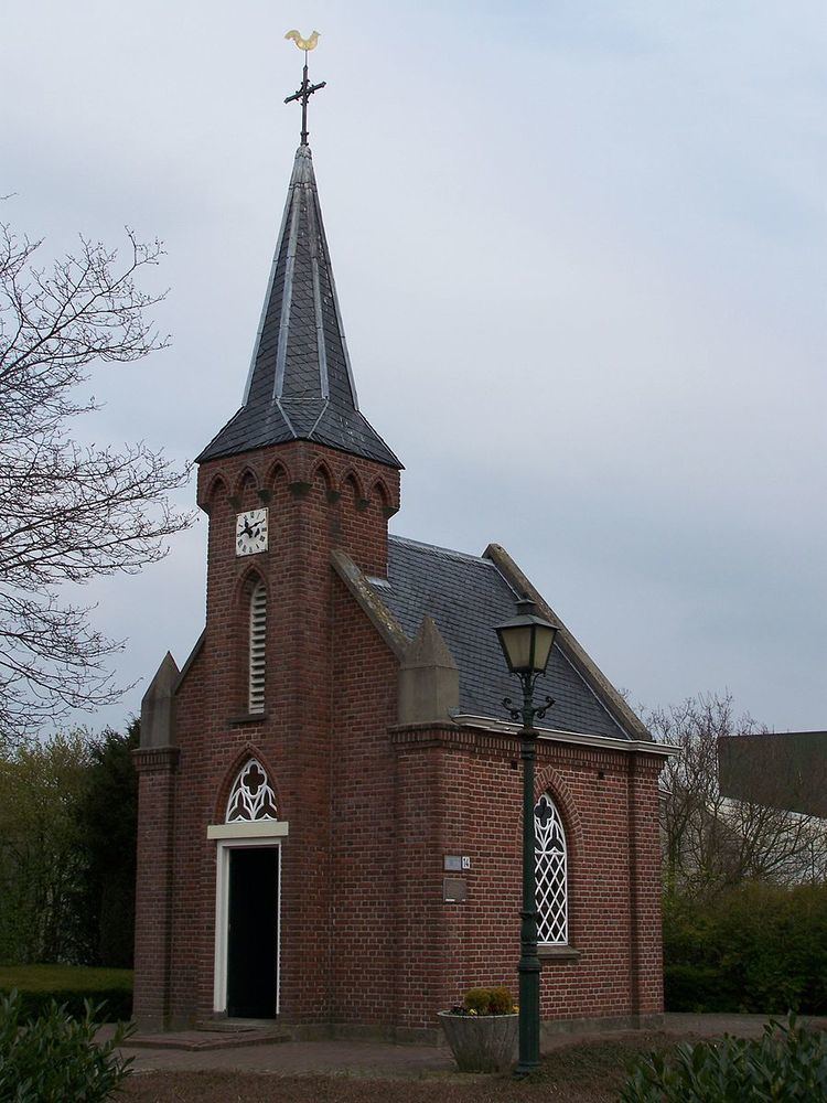
One of the town's main attractions is the Netherlands' smallest church (Kerkje "De Rietstap"), another one is a border museum (Grenslandmuseum).
One street in Dinxperlo, Heelweg, is partly German. The road itself lies in the Netherlands, but one side of the housing zone is in Germany (where it is called Hellweg). The houses there belong to the small town of Suderwick, which might be translated as "southern area". Also, Dinxperlo houses a shared Dutch-German police station.
Besides Dutch and German, at both sides of the border a common dialect is spoken, which is a variety of Low Saxon.
Before 2005, Dinxperlo was a separate municipality, covering the town of Dinxperlo itself and the village of De Heurne.
The nearest train stations are Aalten railway station and Terborg railway station, with train service operated by Arriva every half-hour. Bus number 40 connects Dinxperlo to Terborg station and bus number 195 connects Dinxperlo to Aalten station. Both services start in the Willem van Oranjeplein. The service runs from Arnhem (Arnhem railway station) to Doetinchem and Winterswijk stopping at various places on the way.