Vehicle registration AS- Elevation 106 m | Time zone IST (UTC+5:30) Coastline 0 kilometres (0 mi) | |
 | ||
Weather 16°C, Wind N at 2 km/h, 91% Humidity | ||
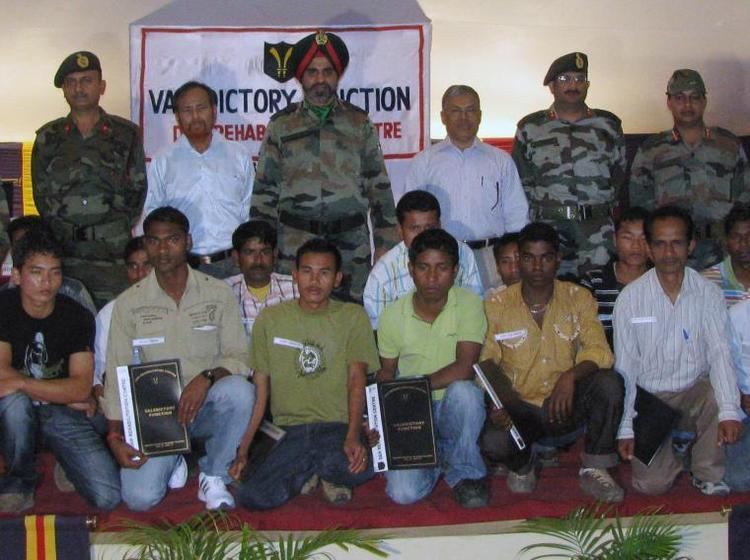
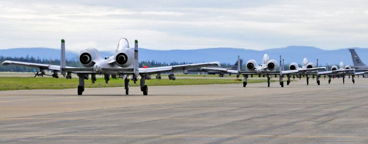
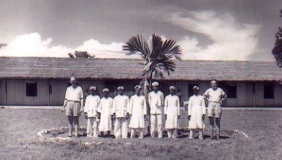
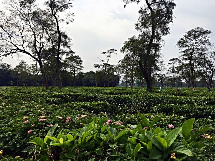
Dinjan (or Dinjaygaon) is a small township in Dibrugarh district of Assam, India. It is located in the tea growing area of Assam. The closest town to it is Tinsukia. Dinjan became prominent during World War II when it had an airfield there from which C-47 of the CNAC flew over The Hump into Kunming in China carrying much needed supplies for the forces of Gen Chiang Kai-shek for the war against Japan. Other similar airfields in the vicinity were Chabua, Ledo, Mohanbari, Doom Dooma.
Contents
Geography
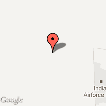
It is located at 27°30′0″N 95°10′0″E at an elevation of 400 ft above MSL.
Location
National Highway 37 passes through Dinjan.
Getting There
The nearest major railway station to Dinjan is Tinsukia (NTSK) which is at a distance of 9.9 kilometres. The nearest airport is at Mohanbari, Dibrugarh which is at a distance of 45 kilometres.