
Founded 1962 Time zone PST (UTC+8) Local time Wednesday 6:25 AM | District Lone District Barangays Area 304.6 km² | |
 | ||
Weather 23°C, Wind E at 11 km/h, 92% Humidity Points of interest Dingalan Bay Resort, RF Resort, Daricel Beach Resort | ||
Full episode biyahe ni drew in dingalan aurora
Dingalan, officially the Municipality of Dingalan (Filipino: Bayan ng Dingalan; Ilocano: Ili ti Dingalan), is a municipality in the province of Aurora in the Central Luzon (Region III) of the Philippines. The population was 25,482 at the 2015 census. In the 2016 electoral roll, it had 14,728 registered voters.
Contents
- Full episode biyahe ni drew in dingalan aurora
- Map of Dingalan Aurora Philippines
- Dingalan an unseen wonder of aurora
- History
- Geography
- Barangays
- Demographics
- References
Map of Dingalan, Aurora, Philippines
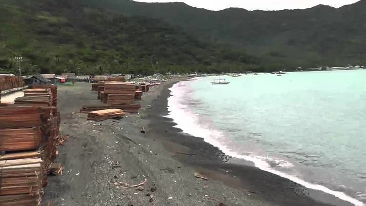
Dingalan has several caves, of which the Lamao Caves are the best known. The rough shoreline and very high waves of Dingalan makes it attractive to surfers.
Dingalan an unseen wonder of aurora
History
Dingalan, formerly just a barrio, was created a municipal district within the municipality of Baler in 1956. It was declared a town in 1962.
From November 30 to December 3, 2004, the town was wiped out by the tropical storms Violeta, Winnie, and Yoyong. The town benefited by relief efforts from foreign traders, some Christian groups, La Salle Greenhills, and the Philippine National Red Cross.
Geography
Dingalan is located at 15°23′N 121°24′E.
According to the Philippine Statistics Authority, the municipality has a land area of 304.55 square kilometres (117.59 sq mi) constituting 7000968000000000000♠9.68% of the 3,147.32-square-kilometre- (1,215.19 sq mi) total area of Aurora.
Dingalan is situated approximately 183 kilometres (114 mi) north-east of Manila. It is bounded on the north by San Luis, west by Gabaldon and General Tinio (Nueva Ecija) and Doña Remedios Trinidad (Bulacan), south by General Nakar (Quezon), and east by the Benham Rise or Plateau and Philippine Sea.
It is a small town with one main cemented road with branching alleys. Further south of the town proper are the barangays of Aplaya, Butas na Bato, Matawe, Ibona, Dikapanikian and Umiray. The premier barangay north of the town is Paltic. All of the barangays are located on the seashore, except for Poblacion and two barangays located in the mountains. The whole town is mountainous due to the Sierra Madre Mountains. The Umiray River separates the town from Quezon Province.
Barangays
Dingalan is politically subdivided into 11 barangays.
Demographics
In the 2015 census, Dingalan had a population of 25,482. The population density was 84 inhabitants per square kilometre (220/sq mi).
In the 2016 electoral roll, it had 14,728 registered voters.