
- elevation 1,440 m (4,724 ft) - elevation 339 m (1,112 ft) | - location near Boranel Mountain | |
 | ||
- location near Tunderbolts Lookout, Barrington Tops National Park Sources Mount Royal Range, Barrington Tops National Park, Great Dividing Range | ||
Cobark River, a perennial river of the Manning River catchment, is located in the Upper Hunter district of New South Wales, Australia.
Contents
Map of Dilgry River, New South Wales, Australia
Course and features
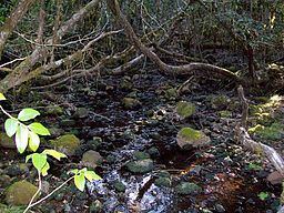
Dilgry River rises in the Barrington Tops within the Great Dividing Range, near Tunderbolts Lookout in the Barrington Tops National Park, and flows generally east then south by east, before reaching its confluence with the Cobark River, north north east of Boranel Mountain. The river descends 1,100 metres (3,600 ft) over its 26 kilometres (16 mi) course.
References
Dilgry River Wikipedia(Text) CC BY-SA