
Peak Pico Navarino | Elevation 1,195 m (3,921 ft) State/Province Magallanes | |
 | ||
Length 30 km (19 mi) north-south Similar Hoste Island, Cordillera Darwin, Beagle Channel, Alberto de Agostini National, Cape Horn | ||
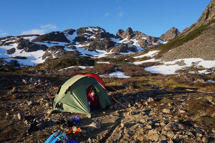
Backpacking los dientes de navarino island chile
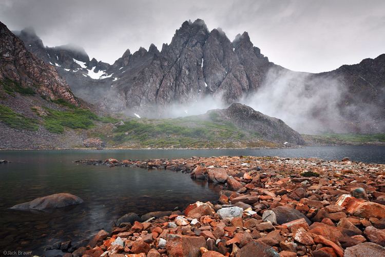
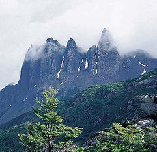
Dientes de Navarino (Teeth of Navarino in English) are a mountain range in Navarino Island, Chile, located just south of Puerto Williams, along the Beagle Channel coast. They are named for the jagged pinnacles which resemble teeth.
Contents
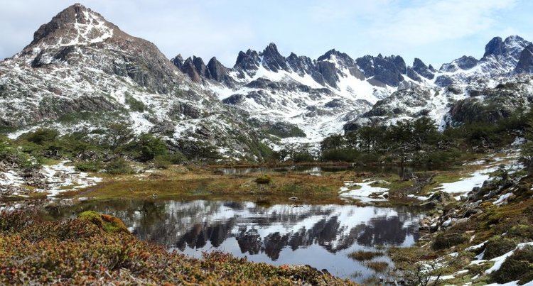
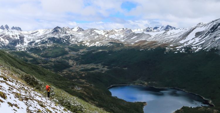
There is a rough hiking circuit around the range. Depending on weather conditions the trek takes 5 to 7 days. The trail passes peaks known as Cerro Clem and Montes Lindenmayer, named in 2001 by the Chilean Ministry of Natural Resources for the author of the Lonely Planet guide.
Trekking dientes de navarino janeiro 2017
References
Dientes de Navarino Wikipedia(Text) CC BY-SA