
District Cachar Time zone IST (UTC+5:30) Area code 03842 | Block Narsingpur Population 10,000 (2015) ISO 3166 code ISO 3166-2:IN | |
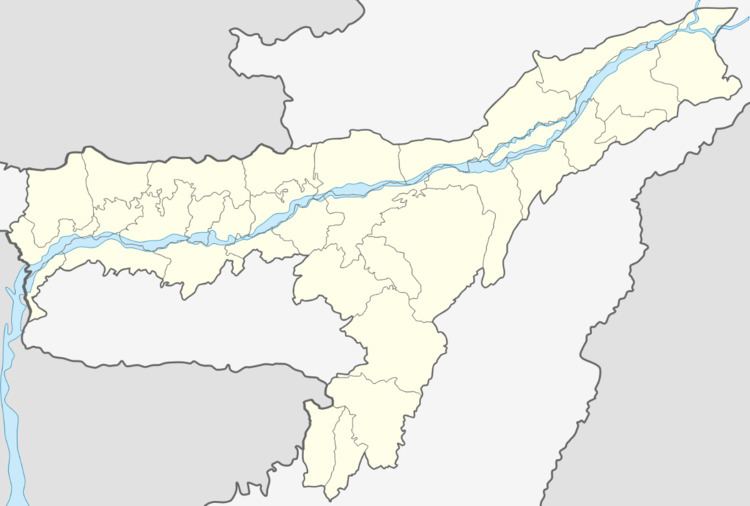 | ||
Dholai is a Village in Narsingpur Tehsil in Cachar District of Assam State, India. It is located 30 km towards South from District headquarters Silchar. 22 km from Narsingpur
Contents
- Dholai bilimora gujarat
- About Dholai
- Geography
- Demographics
- Language
- Education
- Neighbourhood
- Neighbouring villages
- Connectivity
- References
Dholai bilimora gujarat
About Dholai
Dholai is a Village in Narsingpur Tehsil in Cachar District of Assam State, India. It is located 30 km towards South from District headquarters Silchar. 22 km from Narsingpur. 235 km from State capital Dispur Dholai Pin code is 788114 and postal head office is Dholai Bazar.
Geography
Dholai is located at 24° 35' 44.7972 N and 92° 50' 47.8572 E. It has an average elevation of 26 metres (85.3018 feet).
Demographics
The population of Dholai village approximately 10,000.
Language
Bengali, Dimasa and Sylheti is the Local Language hereEducation
Neighbourhood
Neighbouring villages
Connectivity
There is no railway station near Dholai within 30 km. However, Silchar Railway Station, a major railway station is 35 km from Dholai. NH 54 connects Silchar to Dholai en- route to Aizwal,vehicles regularly ply between Silchar to Dholai during Daytime.