
Country Algeria Elevation 529 m (1,736 ft) Area 2,175 km² | Time zone CET (UTC+1) Population 12,643 (2008) | |
 | ||
District Dhayet Bendhahoua District (coextensive) | ||
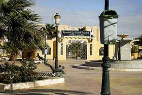
Dhayet Bendhahoua (Arabic: ضية بن ضحوة) (also written Dayet Ben Dahoua) is a town and commune, coextensive with Dhayet Bendhahoua District, in Ghardaïa Province, Algeria. According to the 2008 census it has a population of 12,643, up from 9,199 in 1998, with an annual growth rate of 3.3%. It lies just 8 kilometres (5.0 mi) northwest of the provincial capital Ghardaïa.
Contents
Map of Daia Ben Dahoua, Algeria
Geography
Dhayet Bendhahoua lies on the banks of the Wadi Mzab, an intermittent river in the M'zab valley, upstream of Ghardaïa. The area has been listed as a UNESCO World Heritage Site.
Transportation
Dhayet Bendhahoua is connected to Ghardaïa by the regional road W147, which loops from Ghardaïa northwest to the town and then back east to the N1 highway. The N1 highway, part of the Trans-Sahara Highway, leads north to Laghouat and south to In Salah.
Education
4.6% of the population has a tertiary education, and another 16.7% has completed secondary education. The overall literacy rate is 80.5%, and is 85.5% among males and 75.2% among females.
Localities
The commune of Dhayet Bendhahoua is composed of one locality: