
PIN 811212 Literacy 41.4% Area code 06344 | Time zone IST (UTC+5:30) Telephone code 06344 Local time Monday 10:56 PM ISO 3166 code ISO 3166-2:IN | |
 | ||
Weather 20°C, Wind W at 6 km/h, 40% Humidity | ||
Dharhara is a community development block (an administrative division) in Munger District of Bihar, India.
Contents
- Map of Dharhara Bihar 811212
- Company Factories
- Famous Shop
- Divisions
- Religion
- Transport
- EducationSports
- References
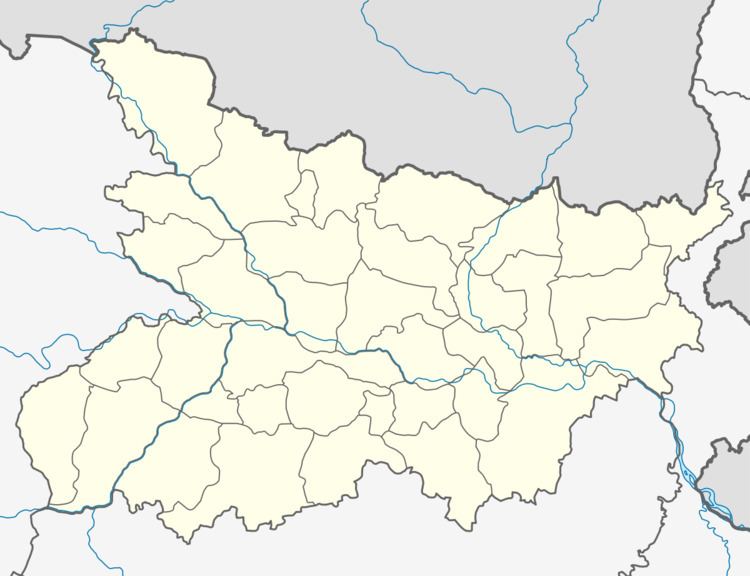
Map of Dharhara, Bihar 811212
Company & Factories
1.RBS ENGINEERING COMPANY
2.News War (National Hindi News paper)
Kali mandir
Famous Shop
None
Divisions
Panchayats under the Dharhara block include:
Religion
The population of the block (village) is a mix of peoples from community consisting of Hindus, Muslims & Christians among other denominations, all living in peaceful co-existence.
Transport
Education/Sports
- Major educational institute is the 50 years old high school (Kumar Ramanand Smarak High School).
- RBS Youth Club. (Royal Bihar Sports Youth Club).
- Shri Shankar Sporting Club .
References
Dharhara (community development block) Wikipedia(Text) CC BY-SA