
Main source Laisang peak Length 352 km | ||
 | ||
Young boys dive into dhansiri river in dimapur nagaland
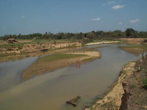
Dhansiri is the main river of Golaghat District of Assam and the Dimapur District of Nagaland. It originates from Laisang peak of Nagaland. It flows through a distance of 352 kilometres (219 mi) from south to north before joining the Brahmaputra on its south bank. Its total catchment area is 1,220 square kilometres (470 sq mi).
Contents
- Young boys dive into dhansiri river in dimapur nagaland
- Map of Dhansiri Assam
- Dhansiri river in asam
- References
Map of Dhansiri, Assam
While flowing as the boundary between Karbi Anglong and Nagaland, it flanks a large wilderness very rich in wildlife. On one side is the Dhansiri Reserved Forest and on the other Intanki National Park.
It has several types of important wood bearing trees along its bank like Intanki Forest. Dhansari river along with Kapili by headward erosion has completely isolated the Mikir hills from the Peninsular plateau. There are numerous perennially waterlogged swampy region locally known as bils associated with this river.