
Vehicle registration WB Elevation 37 m | Time zone IST (UTC+5:30) Website wb.gov.in | |
 | ||
Dewanhat is a small town in Cooch Behar district of West Bengal, India. There is a college, hospital, railway station and an old high school. It is a well known agri-market in North Bengal. Dewanhat is well connected with NH-31.
Contents
Map of Dewanhat, West Bengal 736134
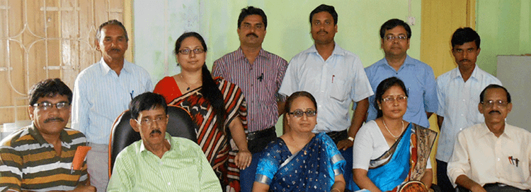
There is an NGO named Cooch Behar Ashar Alo which is working for socioeconomic development of north eastern states of India. This organisation mainly working for empowerment of women. They have many other activities for social development.This NGO is also work with rural Micro Finance.
Geography
Dewanhat is located at & Nearest Airport Cooch Behar 13 Kilometer . It has an average elevation of 37 metres (121 feet).
References
Dewanhat Wikipedia(Text) CC BY-SA