
Listing Hewitt, Marilyn Topo map OSi Discovery 37 Prominence 280 m | OSI/OSNI grid L915624 Elevation 645 m | |
 | ||
Coordinates Latitude: 53.600399 Longitude: -9.638164 Similar Ben Gorm, Maumtrasna, Barrclashcame, Barrslievenaroy, Binn Mhór | ||
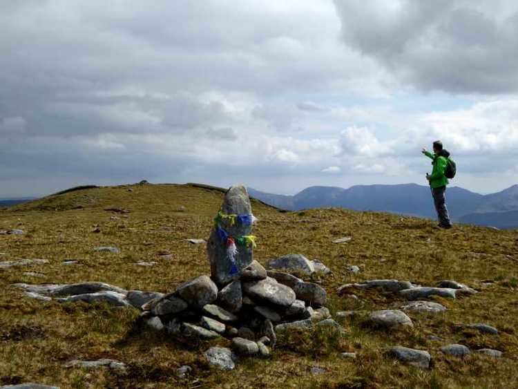
Climbing devilsmother ridge
Ireland devilsmother 645 m
Geography
Devilsmother is in the Partry Mountains, at the head of Killary Harbour, overlooking the Western Way long-distance path. It sits on the border between County Galway (to the south) and County Mayo (to the north).
Etymology
The mountain has two Irish language names: Magairlí an Deamhain (meaning "the demon's testicles") and Binn Gharbh (meaning "rough peak"). The anglicized spellings Mogarlyandoon and Ben Garrif appear on some historical maps. Originally, it seems that Magairlí an Deamhain was the name of a knobbly ridge north of the summit, while Binn Gharbh applied to the mountain as a whole. The English name Devilsmother may be "a euphemistic false translation" or may be based on an alternative name.
References
Devilsmother Wikipedia(Text) CC BY-SA