
Time zone CET (UTC+1) Population 574 (1 Apr 2009) Postal code 2423 | Area 27.4 km² Local time Tuesday 4:14 PM District Neusiedl am See District | |
 | ||
Weather 11°C, Wind NW at 13 km/h, 51% Humidity | ||
Deutsch Jahrndorf (Hungarian: Németjárfalu, Német-Járfalu) is a municipality in the district of Neusiedl am See, in the Austrian state of Burgenland. It is within a few kilometres of the borders of both Hungary and Slovakia. Deutsch Jahrndorf is the easternmost municipality of Austria, at 17 degrees eastern longitude, and the easternmost commune of the German Sprachraum.
Contents
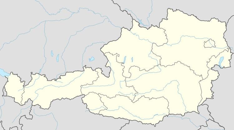
Map of 2423 Deutsch Jahrndorf, Austria
History
With Burgenland, the former Hungarian village passed to the Republic of Austria after World War I. During the Cold War, or from shortly after World War II until the Revolutions of 1989, Deutsch Jahrndorf was the easternmost community in Central Europe with a Western market economy. It lies farther to the east than all of the former East Germany and is farther east than parts of Poland and parts of what were then Czechoslovakia and Yugoslavia, all of which were communist countries behind the "Iron Curtain".
Politics
Seats in the municipal assembly (Gemeinderat) as of 2007 elections:
Twin towns — Sister cities
Deutsch Jahrndorf is twinned with: