
 | ||
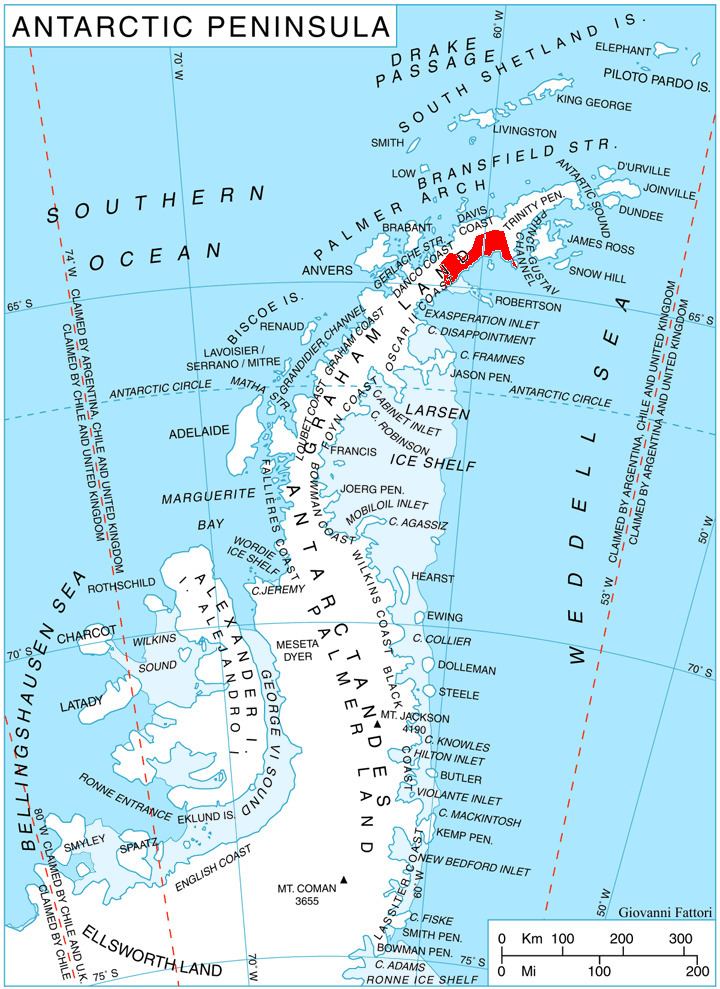
Desudava Glacier (Bulgarian: ледник Десудава, ‘Lednik Desudava’ \'led-nik de-su-'da-va) is the 15.5 km long and 5 km wide glacier on Nordenskjöld Coast in Graham Land, Antarctica situated south of Dinsmoor Glacier and east-northeast of Boryana Glacier. It is draining the northeast slopes of Gusla Peak and adjacent slopes of Detroit Plateau further north, the south slopes of Ivats Peak and the west slopes of Mount Elliott, and flowing southwards into Mundraga Bay next east of Boryana Glacier.
Contents
Map of Desudava Glacier, Antarctica
The feature is named after the ancient Thracian town of Desudava in southwestern Bulgaria.
Location
Desudava Glacier is centred at 64°26′50″S 60°10′00″W. British mapping in 1978.
Maps
References
Desudava Glacier Wikipedia(Text) CC BY-SA