
Time zone EET (UTC+2) Vehicle registration ΒΙ Area code 26940 | Elevation 566 m (1,857 ft) Postal code 190 12, 320 05 Local time Tuesday 7:45 AM | |
 | ||
Weather 8°C, Wind NE at 0 km/h, 74% Humidity | ||
Kanellos dervenochoria hillclimb 2015
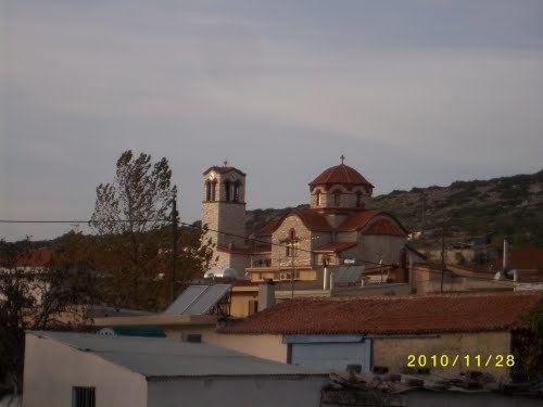
Dervenochoria (Greek: Δερβενοχώρια) is a former municipality in Boeotia, Greece. Since the 2011 local government reform it is part of the municipality Tanagra, of which it is a municipal unit. In 2011 its population was 1,869. The municipal unit has an area of 222.938 km2. It covers the southernmost portion of Boeotia. The main village is Pyli.
Contents
- Kanellos dervenochoria hillclimb 2015
- Map of Dervenochoria 190 12 Greece
- Dervenochoria 2014 citroen ax maxi evo ii g politis
- Subdivisions
- History
- References
Map of Dervenochoria 190 12, Greece
Dervenochoria 2014 citroen ax maxi evo ii g politis
Subdivisions
The municipal unit Dervenochoria is subdivided into the following communities (constituent villages in brackets):
History
The municipality was created in 1997.
Most of Dervenochoria was hit by a devastating wildfire (see 2007 Greek forest fires) on Thursday June 28, 2007 that came from Parnitha westward. Some damages to property including houses and buildings were reported. The aftermath was that much of the forest turned into an ashy landscape that may take years to restore its natural beauty.